For most people, travelling between Kununurra and Darwin is simply a matter of getting from Point A to Point B; however, there are so many little gems along the way that make it worth taking a bit of extra time through this region.
KEEP RIVER NATIONAL PARK
A mere 60 kilometres from Kununurra is Keep River National Park, traditional land of the Miriwoong people. Pre-Covid, when interstate border crossings were no big deal, people often day-tripped from Kununurra to visit the park. There is a lovely campground at Goorrandalng, or further in at Jarnem. The road is unsealed and can be in varying conditions and level of corrugations, so if towing definitely try and get a spot at the closer campground. During busy times you’ll want to get in early as there are limited sites, especially for bigger rigs. From Goorrandalng camp, there is a short and easy walk through sandstone formations, not too dissimilar to those found in Purnululu National Park.

Further into the park there are some interesting Aboriginal art and cultural sites, such as the shelters at Jenemoom walk or a traditional bird hide at Ginger’s Hill Walk. At Jarnem campground, there are a couple points of interest, Nigli Gap and Jarnem lookout, that can be viewed on their own on separate walks or combined in a beautiful 6.5km loop walk. We highly recommend the loop walk so you can enjoy the stunning lookout over the Keep River landscape and the walk through the beautiful and varied sandstone formations of the Nigli Gap (Langgerrbi).

JUDBARA (GREGORY) NATIONAL PARK
Continuing on from Keep River, we passed Judbara/Gregory National Park. The northwest section of the park apparently has some epic 4WD tracks and interesting sights such as the Calcite Flow, a calcified rock formation that looks like a solidified waterfall. However, multiple sources suggested having at least 2 spare tyres, and since we were travelling on our own with tyres that were on their last legs, we decided to give this one a miss this time around.
Nevertheless, there are some fantastic and easily-accessible walks off the highway just west of Victoria River Roadhouse. Both involve some fairly steep climbs that lead to extraordinary views. The Ngawilbinbin walk at the Joe Creek picnic area is a 1.7km loop that almost immediately starts with a steep climb up the slope of an escarpment for great views over a Livistonia palm-filled valley, as well as Indigenous rock art, before climbing down and meandering through the valley back to the carpark.

The Escarpment walk is a 3km return walk up (you guessed it) another escarpment with great views of the Victoria Highway winding through the spectacular landscape. It also has interesting signage along the trail about the creation stories of the traditional people of this area.
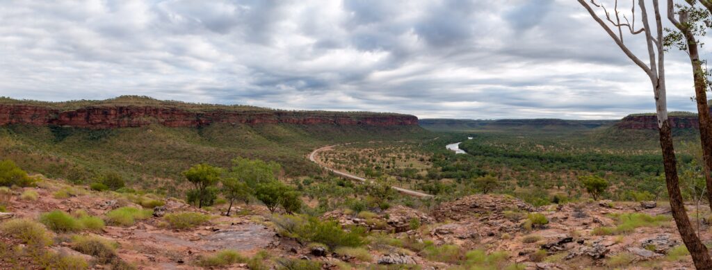
Nearby Victoria Roadhouse also makes an affordable and convenient place to park up for the night.
KATHERINE
Our next stop from Victoria Roadhouse was Katherine. Bearing in mind that a) it was school holidays, and b) we hadn’t seen a traffic light in over a year, we found our arrival into “bustling” Katherine a bit overwhelming…pretty sure we’re the only people to ever say that! Once we remembering how a traffic light works and got over how many people and cars were around, we found our time in Katherine fairly enjoyable. Being school holidays in a very busy year, our choice of caravan parks was minimal. We ended up at a park north of the river, which felt more like a shanty town than an actual caravan park. Nevertheless, everyone was pleasant and we didn’t have any issues over our 2 night stay there.
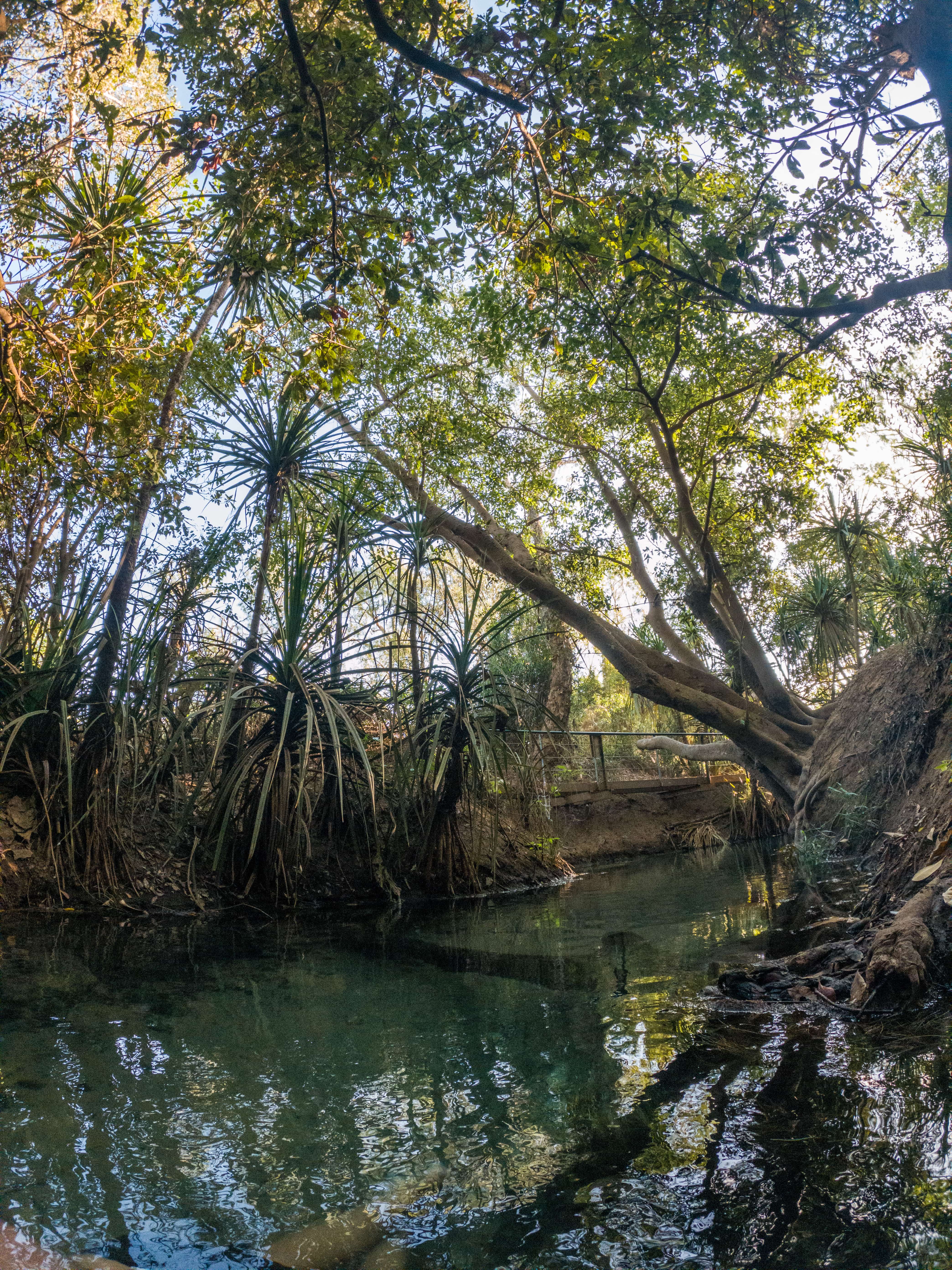
We already knew of the existence of thermal springs in nearby Mataranka (which we decided to save the visit until after school holidays) but didn’t know of Katherine Springs right on the edge of town. It’s a lovely oasis in this hot, dusty environment, with room for everyone (especially if you go early or late in the day). Explore the waterway upstream to find your own little secluded nook; even in such a busy time we were able to find our own little pool to enjoy.
NITMILUK (KATHERINE GORGE) NATIONAL PARK
A visit to Katherine is not complete without a visit to Nitmiluk/Katherine Gorge. The gorge itself is located in the southern portion of the park and is easily reached as a day trip from Katherine, or there is a caravan park in the park itself. In the northern section of the park lies, among other beautiful swimming holes, Leliyn/Edith Falls – but more on that later.
Walks in the southern sections of the park range from short 1.8km return walks to multi-day hikes. The Jatbula Trail is a 62km, one-way trek from Katherine Gorge to Leliyn (Edith Falls); bookings are required and need to be made far in advance due to popularity. For all the longer walks that follow the gorge, be sure to be prepared with food and water and start your walk early; the heat can be very draining! Luckily there are water tanks at various points along the way. The gorge itself is awe-inspiring, so if you do only one walk, make it the Baruwei Loop to the lookout; you will not be disappointed!

For our visit, we decided to do the full day hike out to Lilly Ponds. In hindsight it was a bit long for a day trip but still worthwhile (especially since there was still water at Lilly Ponds for a quick cool down). The terrain is challenging (a lot of up and down) and the path sometimes difficult to follow; therefore, this track should only be completed by confident hikers. Pat’s Lookout was a highlight on the way out; we skipped Southern Rockhole, which is meant to be a spectacular waterfall but only flows during the wet season.
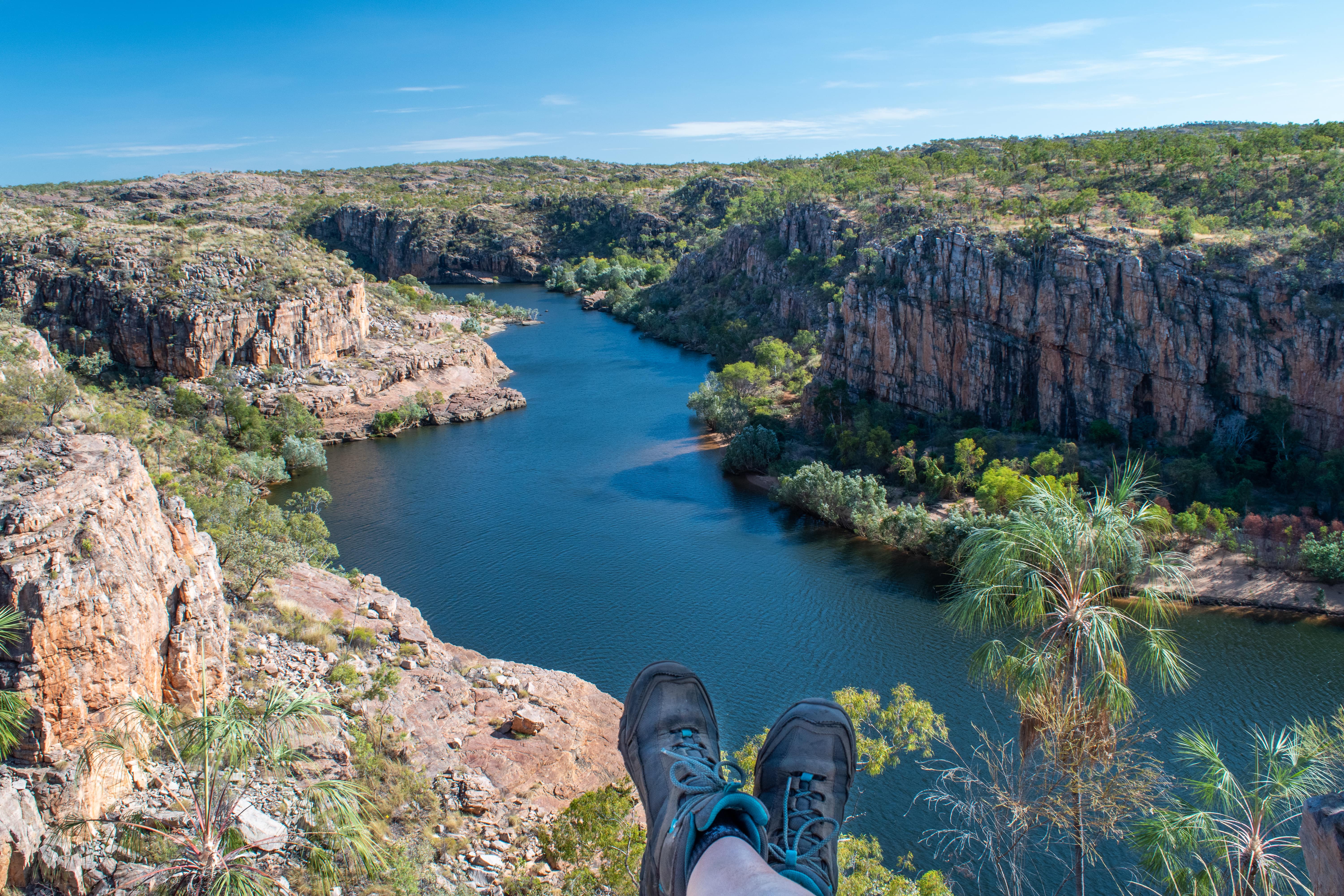
On our return journey from Lilly Ponds, we opted for the inland route as much as possible as it was easier and shorter. Even though we had an early start and were fairly constantly on the move, we still only made it back as the sun was starting to set thanks to the shorter days of winter. If we were to do our time in southern Nitmiluk again, we would splurge on either the boat cruise or the kayak tour to appreciate the gorge from below.
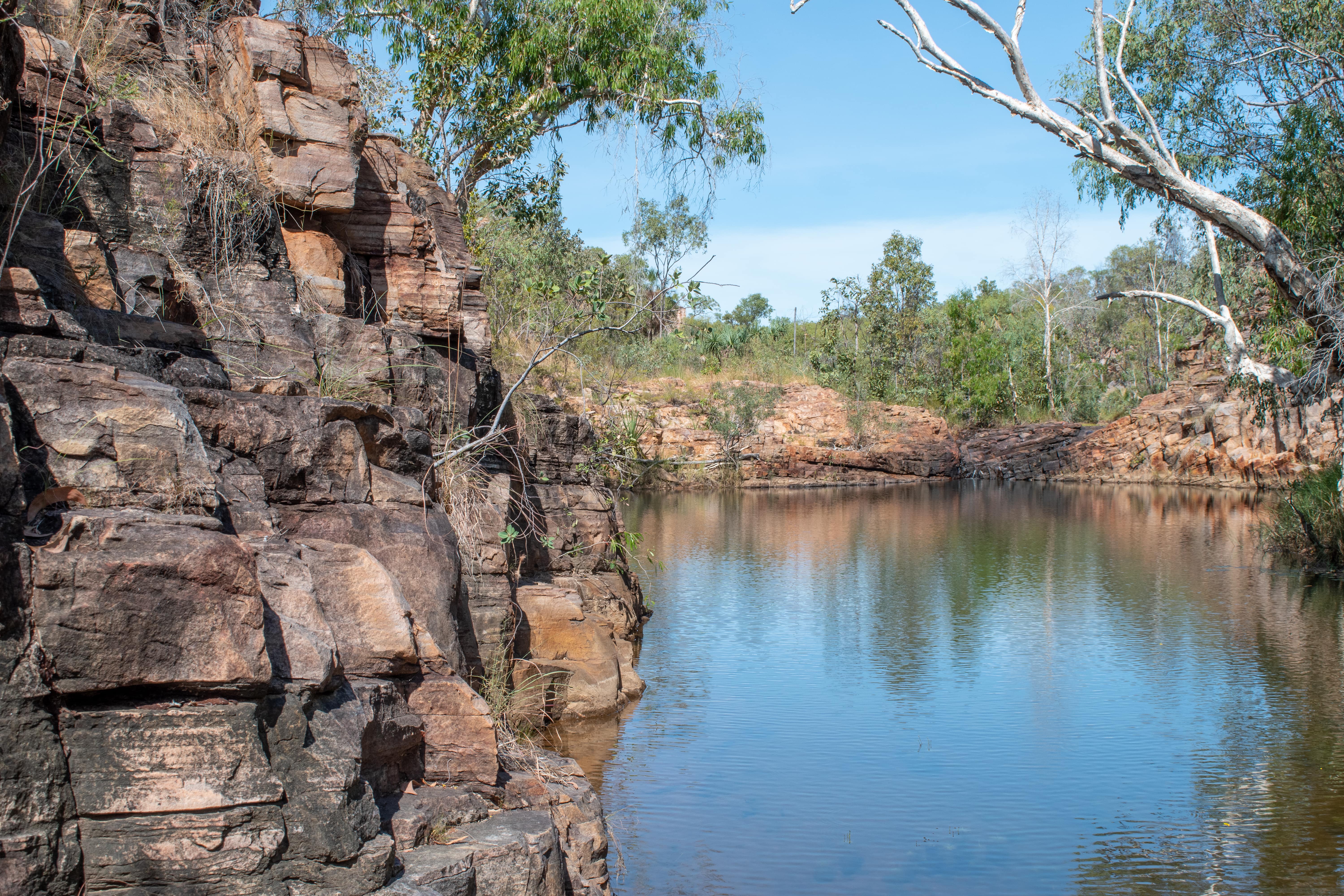
Unless you’re one of those forward planners who booked a spot on the Jatbula Trail, to get to Leliyn/Edith Falls you will have to drive a short 60ish kilometres north from Katherine. The campground at Edith Falls, especially during the dry season, is notoriously busy and hard to get into. Most of the time people have to line up outside the campground first thing in the morning, and once they’ve reached the maximum number of campers, the gates are closed – and this usually happens by 10am. However, there is a wonderful free camp only 10km out of the park as long as you’re self-sufficient, with a nice little river running alongside. To us it’s much more pleasant that being crammed in with a bunch of other campers, as long as you don’t mind forgoing the facilities. We incidentally ended up spending a week here, as Darwin went into a Covid lockdown just a couple days before we were due to arrive. We can’t complain though; it made a great place to sit back and wait out the lockdown, which luckily was only a few days.
Once here, there are several options to get your waterhole fix, just don’t forget your pool noodle – it is a massive swimming hole! The most easily accessible is the lower pool of Edith Falls, which is only a short and flat walk from the carpark.
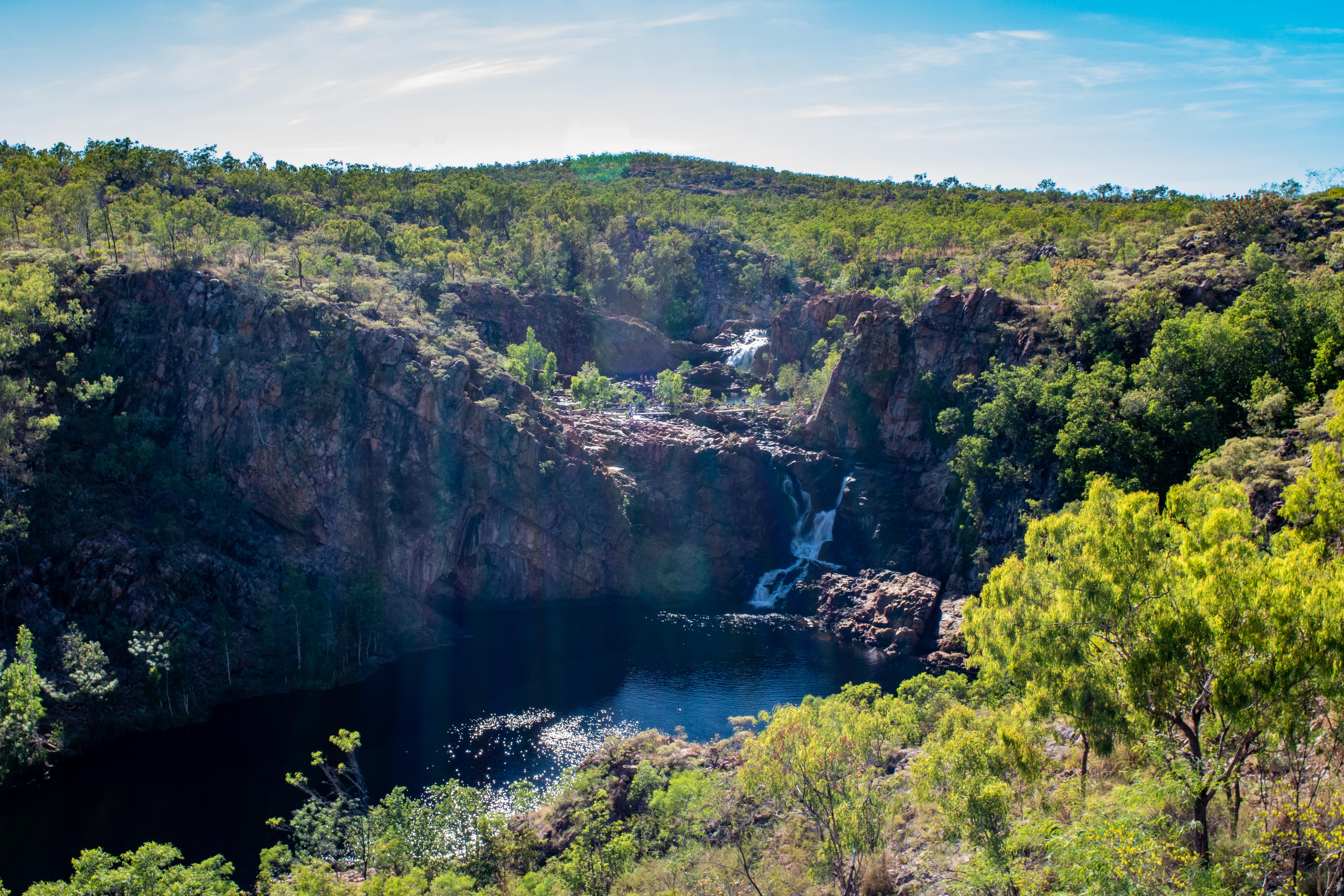
If you’re up for a bit of exercise, there is a loop trail that will take you up to a couple lookouts and an upper pool, which is usually significantly less busy than the lower pool.
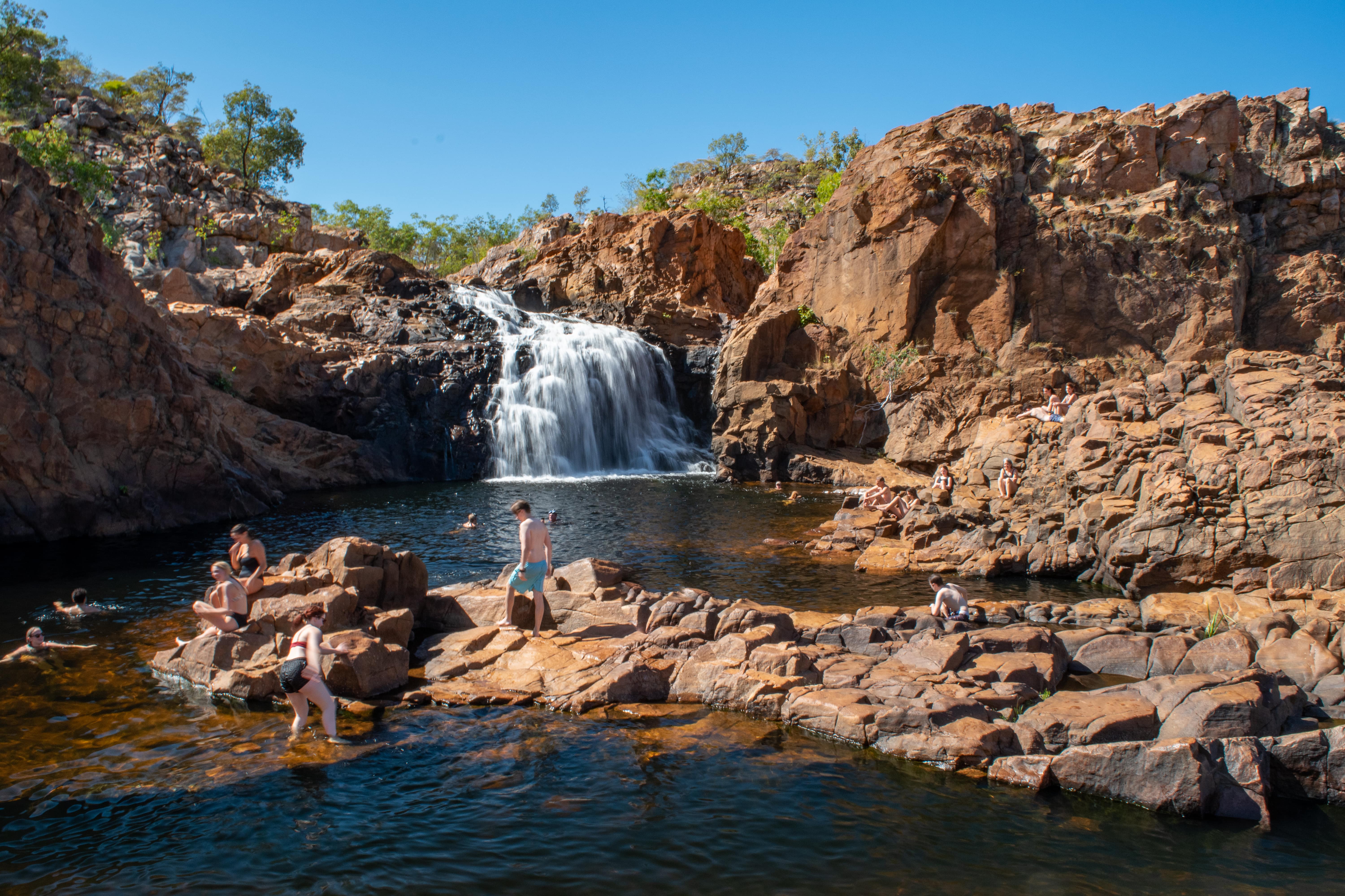
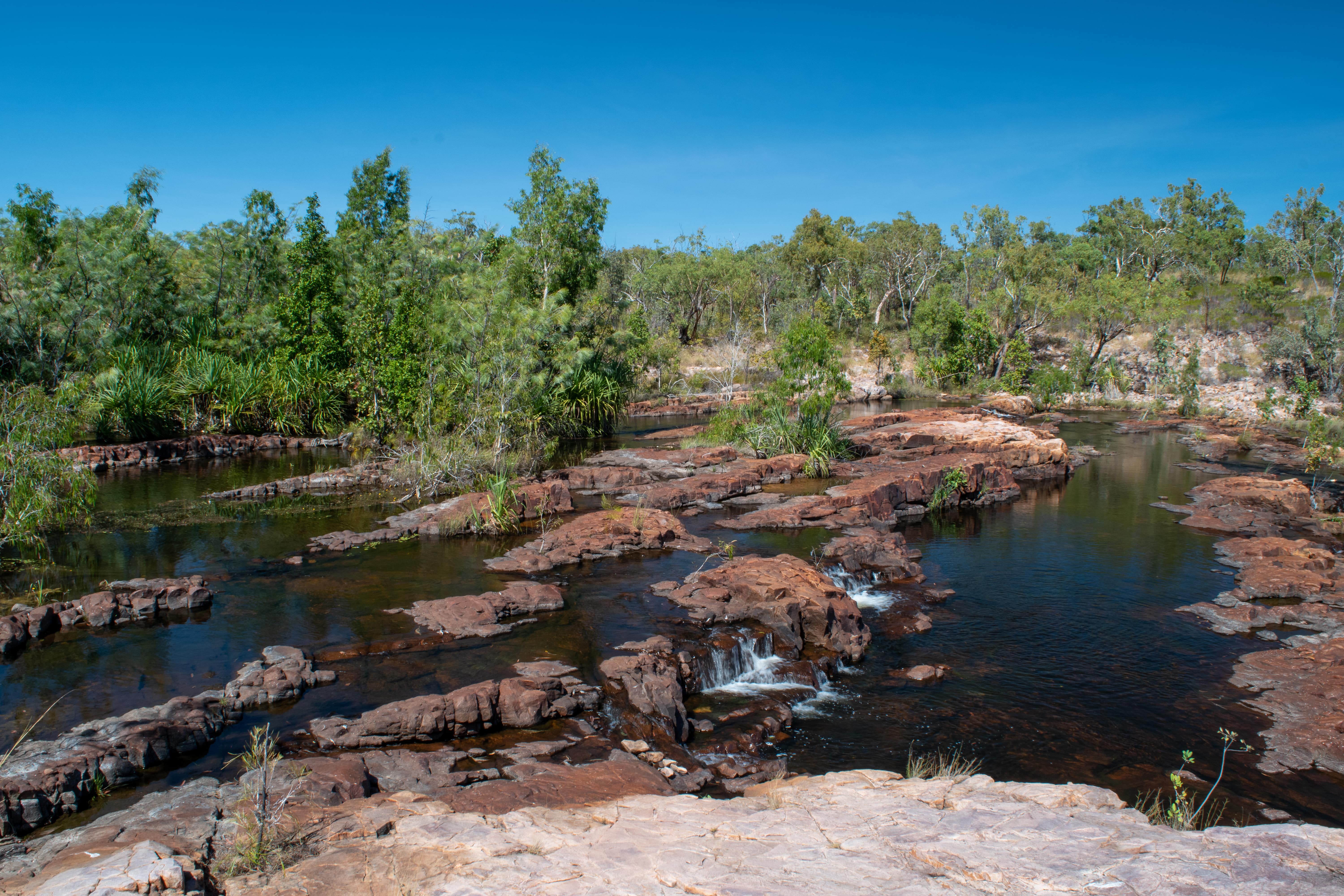
Lastly, if you’re up for a bit more exercise, you can do the 9km return hike along what is the last leg of the Jatbula Trail to Sweetwater Pool, where you’re very likely to have this lovely swimming hole to yourself. There’s also a great grassed picnic area next to the carpark, complete with gas BBQs and tables, or a cafe for those less organised.
UMBRAWARRA GORGE
Further north from Edith Falls, just south of Pine Creek, is a turn-off for Umbrawarra Gorge. A fairly good unsealed road will lead to a small campground with limited spots for smaller setups. The walk to the start of the gorge is a level 1km, then from there it’s wading, swimming, and/or rock-hopping depending on the water levels. Earlier in the dry season is best, as the waters recede and become stagnant as the season goes on. There is a women’s only Indigenous area at the top of the gorge; check out the signage at the start of the walk for more information.
As you can see, there’s a lot more to the trip between Kununurra and Darwin than simply highway. And it’s just a small intro to all the amazing adventures on offer in the Top End!
