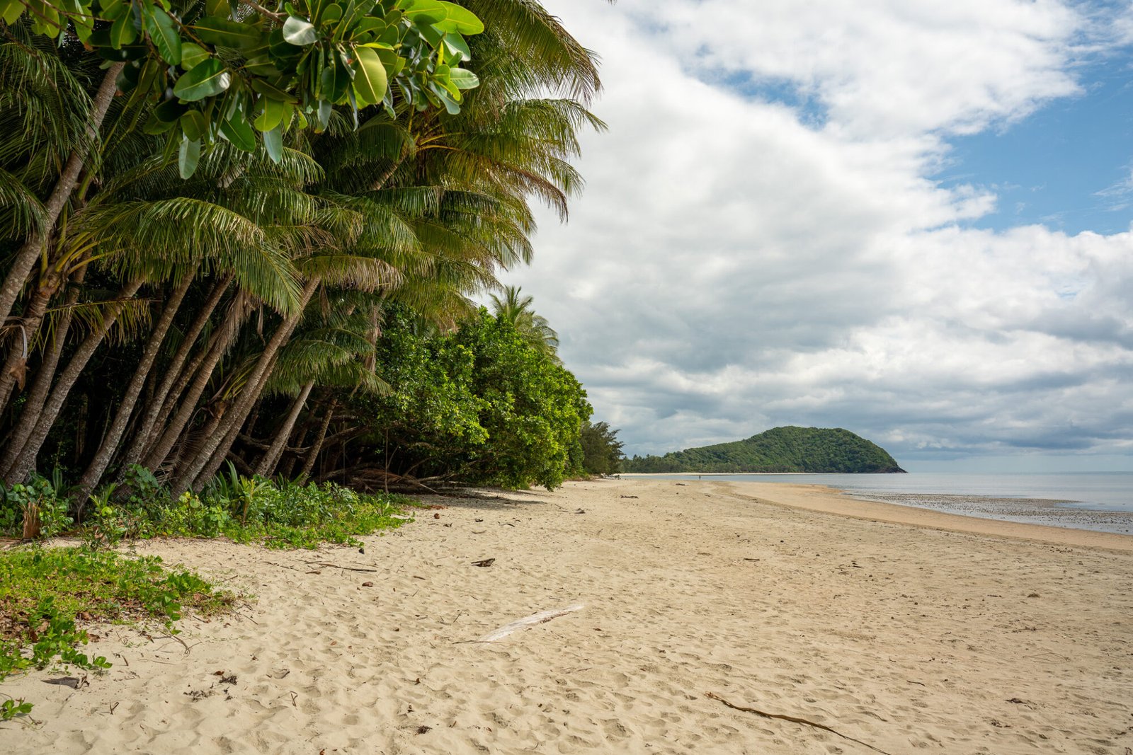
Alice Springs is a town of notoriety. As soon as you mention the name to someone, most seem to have strong opinion about the place, unfortunately much of it negative. This left us wondering how much time we’d actually spend there: would we stay for a while, or drive through without stopping and keeping the doors locked? Luckily, we decided to reserve our judgement until we saw Alice for ourselves, and we were glad we did! While it may have its share of issues (but then again, what place doesn’t?), Alice Springs is an iconic outback town full of friendly people and surrounded by natural beauty, and it serves as a great base to explore the Red Centre. From our few months living and working in Alice, we developed a real appreciation for the place and found a few favourite spots along the way.
Owen Springs
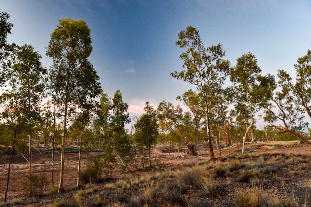
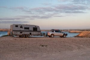
Owen Springs Reserve is 70 kms south of Alice Springs and was the first place we camped at when we arrived. We were able to get the van along the dirt road off the Stuart Highway to the banks of the Hugh River; in hindsight it was a fairly good road for the van, but we were still a bit nervous being off bitumen after our experience along the Oodnadatta Track. From here there’s a nice and easy drive through the reserve, with certain stops along the way to learn about the pastoral history of the area, such as how Haunted Tree Bore got its name.
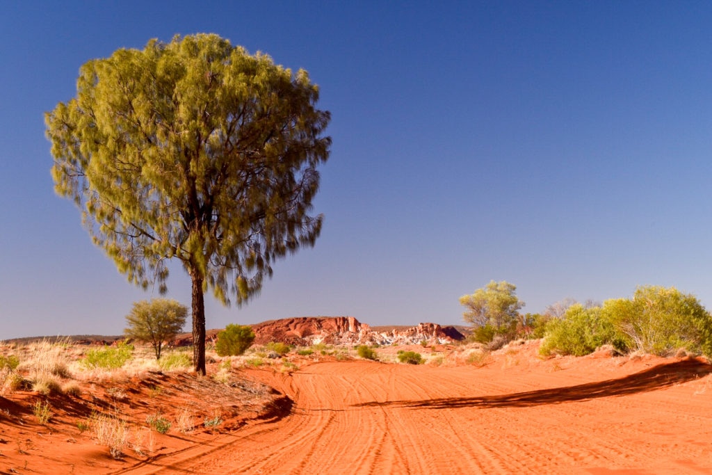
Rainbow Valley
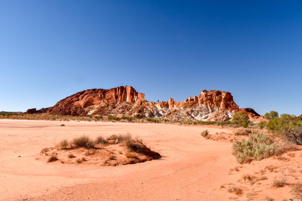
A further 11km south along the Stuart Highway from the Owen Springs Reserve turnoff is the road to Rainbow Valley. Be prepared for 25km of bone-rattling corrugations; this is not a road you want to be towing a van down. Nevertheless, the scenery when you get to the end is all worth it: claypans are framed by colourful cliffs of white, yellow and ochre. It was completely dry when we were there but would be spectacular after rain fills the claypans and provides a reflective surface for the vibrant cliffs.
Mount Gillen
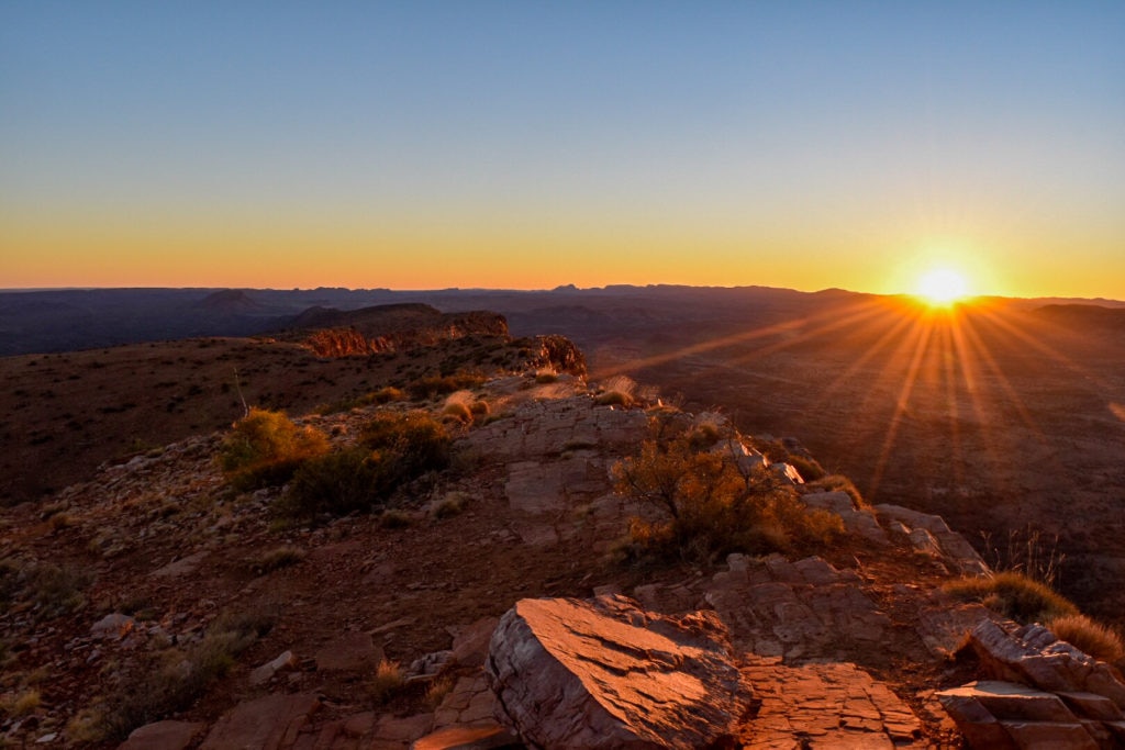
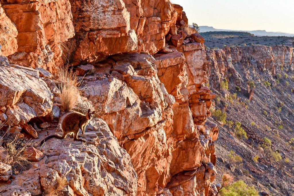
Mount Gillen sits along the ranges that frame Alice Springs from the southern end, jutting out like Pride Rock from “The Lion King.” The local Arrernte people call it Akngwelye, after a local dog that fought off many intruders to form many of the rock formations around Alice. For a 45-60 minute strenuous hike from the carpark for John Flynn’s grave, with some scrabbling up rocks at the end, you’re rewarded with sweeping views over Alice Springs and the MacDonnell Ranges. It’s a must do if you’re in the area and especially stunning at sunset.
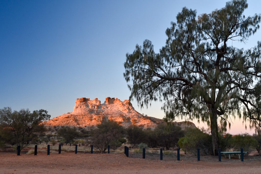
Chambers Pillar
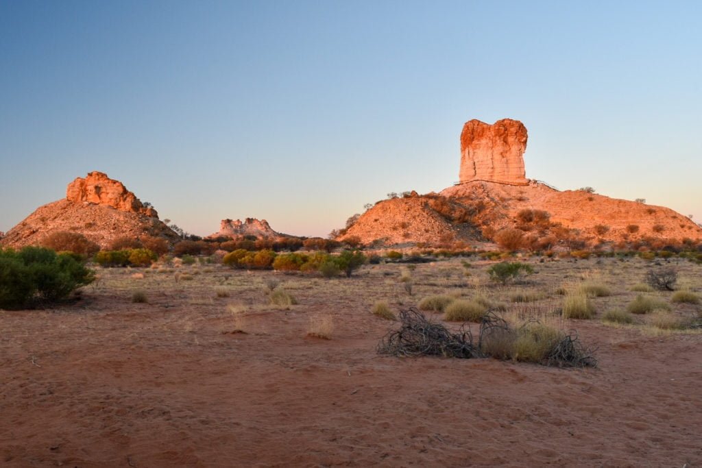
About 160km south of Alice Springs is the interesting rock formation of Chambers Pillar. The drive in is fairly good but there is one steep bit that would make towing a large van in a bit difficult. Chambers Pillar, and its neighbour Castle Rock, have significance to both the local Aboriginal people as well as early European explorers. There’s not much to do here besides walk around the rock formations and relax at the campground, but it’s a nice spot nonetheless, especially to watch the change in colours from sunrise to sunset.
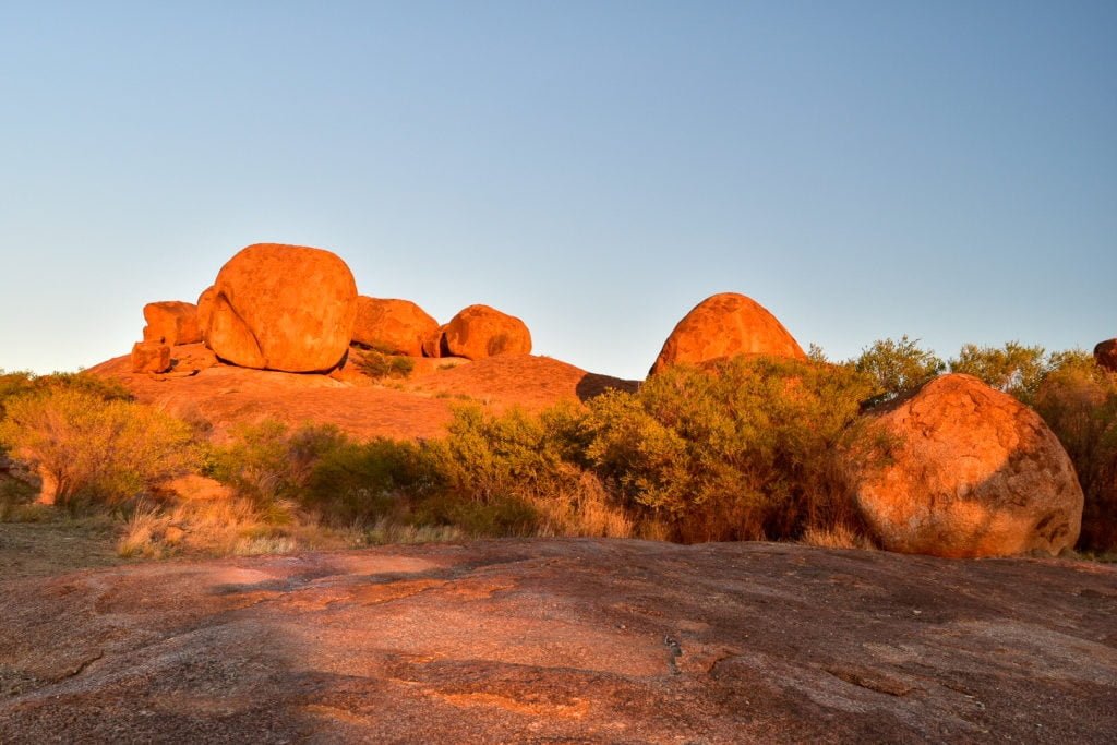
Karlu Karlu/Devils Marbles
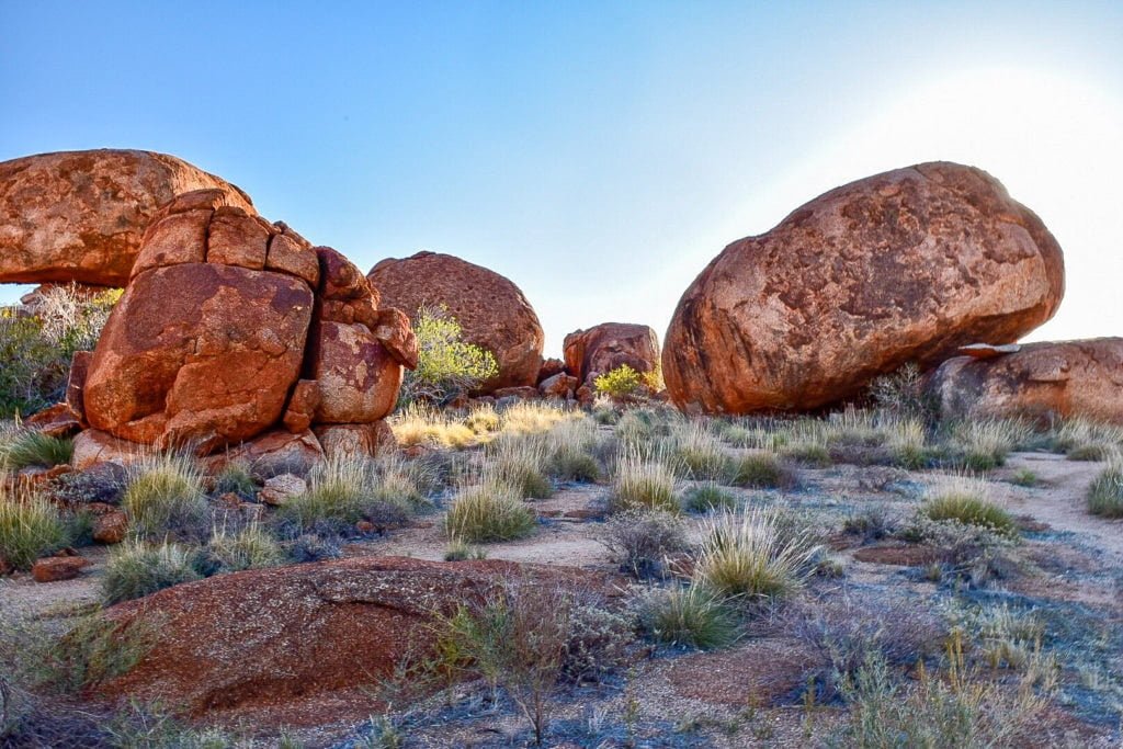
Not exactly a short drive away (just over 400km north of Alice) lies Devil’s Marbles (Karlu Karlu), an array of large granite boulders that seem to have almost just been dropped out of the sky. They’ve actually been formed by molten rock that cracked and split, then eroded to form the round shapes we see today. Again there’s not much else to do besides enjoy the walks around the rocks but still well worth a visit.
Have you been to any of these local spots, or have any other favourites of your own? Let us know below!