The Tasman Peninsula is another one of our favourite areas of Tasmania; although, to be honest there wasn’t really any part of Tasmania that we didn’t like. The scenery is unreal, the hiking is world-famous, and the history of the area is fascinating. Only an hours drive from Hobart, it is only a day-trip away but to truly enjoy this fantastic peninsula, the more time you can spend here the better!
Three Capes Track
One of the main reasons people visit the Tasman Peninsula is for the Three Capes Track, which is actually a misnomer as the official track will only take you to two of the capes in the area: Cape Pillar and Cape Hauy. The third cape, Cape Raoul, is via a separate 17km hike, but more on that one later. The official Three Capes Track is 46km long, and takes 2-4 days to complete.
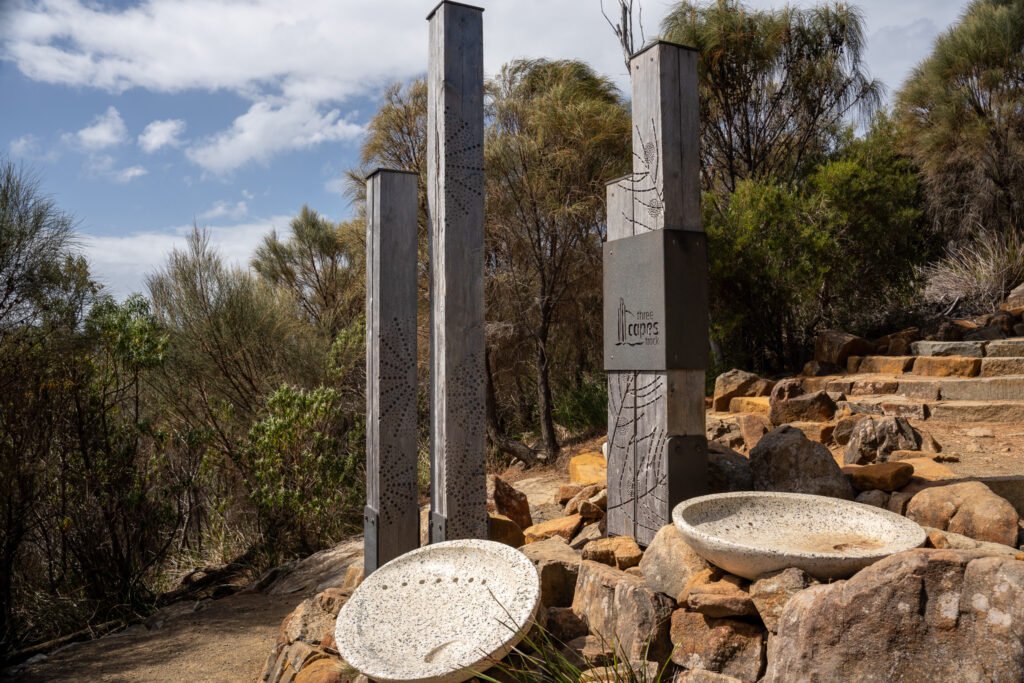
There are two options: an organised hike where you stay in huts, or the free version. Due to timing and budget, we opted for the free hike so we could go at our own pace. However, we did have a look at the huts as we walked through, and they look pretty spectacular!
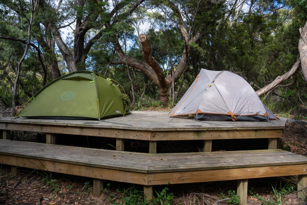
If you are new to overnight hiking or looking for a bit of comfort on your journey, the huts are definitely the way to go, but you will need to plan ahead; this hike books up months in advance. Find more information on the organised hike here.

Nevertheless, the free, unguided version is still a great one for beginners as the trail is very well-marked and trodden, so if anything goes wrong you are unlikely to be alone for long. If you have the time, we’d recommend three days for the hike: one day to get to camp (a short hike that can be commenced later in the day), one day to hike to Cape Pillar and back to camp, and one day to hike to Cape Hauy and out. We did it in two days which meant a massive day of hiking to camp and a side trip to Cape Pillar, and we were pretty wrecked for the second day, which involved a lot of steps to get to Cape Hauy. If you are wanting more information on the free hike, We Seek Travel has a great post with all the information you need to plan the trek.

Nevertheless, it was still one of the best overnight hikes we’d ever done. The coastal scenery along the capes, with its rolling green hills, sea cliffs, and colossal rock pillar formations, will leave you in awe.
Cape Raoul (The OTHER Cape)
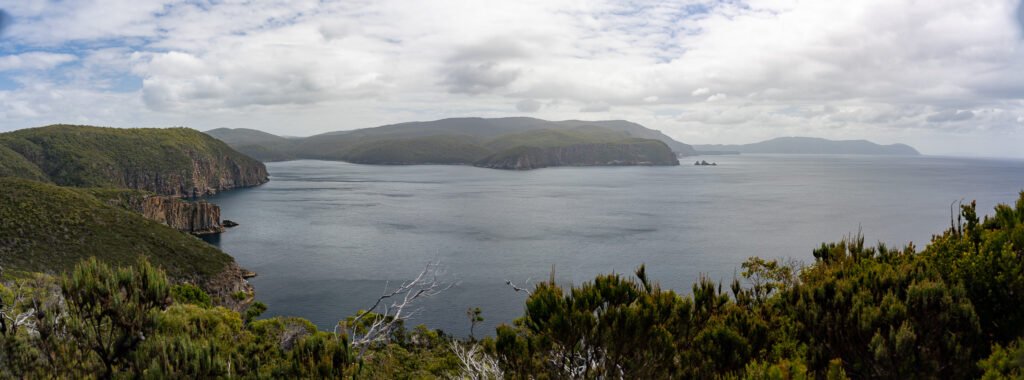
As mentioned above, the Three Cape Track takes you to only two of the capes for which the Tasman Peninsula is known. Cape Raoul, which is located on a completely different section of the peninsula, is no less worthy of the trek and is a great option if the overnight hike is not doable.

However, it is still 17 km return and involves a steep, but optional, climb down to Shipstern Bluff. This is one of the places in Tasmania where, when the conditions are right, impressively large waves draw surfers from all around the world, so it is not unusual to see keen surfers with their boards in hand along the track.

Port Arthur Historic Site
Port Arthur Historic Site is the site of one of Australia’s most notorious penal colonies that was in operation from 1830 to 1877. Unfortunately many buildings have been dismantled or destroyed by fire over the years, but over 30 structures remain to wander through and get a feel for what life in this settlement was like.
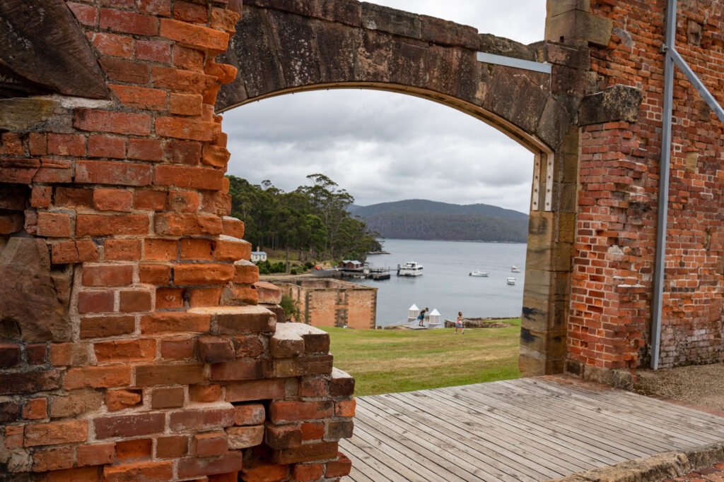
While the site is quite peaceful nowadays, it is not hard to imagine the suffering that occurred here during its heyday.
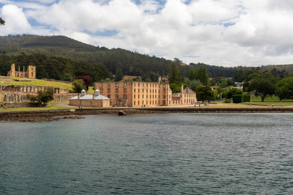
Port Arthur is a large site, and your ticket not only gives you access to the grounds but also includes a guided walking tour and a harbour cruise; therefore, we recommend allowing a full day for a visit. If even a full day feels too rushed, the good news is your ticket is good for two consecutive days, so you can return the following day if you wish to finish your tour. If you are doing the organised Three Capes Hike, the price includes a ticket to the historic site.

Port Arthur is also the site for another atrocity. In 1996 a lone gunman opened fire on visitors and killed 35 people, a shocking event for Australia which became known as the Port Arthur Massacre. This led to sweeping reform for Australia’s gun control laws, which has helped prevent another shooting of its kind to occur since. The sobering memorial is a moving tribute to those who died.
For a change of scenery, the nearby Remarkable Cave is worth a visit. You can appreciate the view from the viewing platform easily accessible from the carpark, or descend a set of steps to view from ground level. If conditions are right, you can see up close as the waves rush through the natural tunnel.

Eaglehawk Neck
The top part of the peninsula, which consists of a short and narrow neck that connects to the rest of Tasmania, has several interesting geological formations near it. The Neck itself has connections to the peninsula’s history as a penal colony. To prevent escaped convicts from reaching the mainland, officers installed a line of aggressive dogs to guard the narrow strip of land. There is a historic site here that details the dog line and how officers used it to control the convict population.

Just south of this point along the cliff is a collection of blow holes and rock formations carved out by the rough seas over many years. They are mostly easily accessible by car and short, easy hikes and include the Tasman Blowhole, Tasman Arch, and Devils Kitchen.

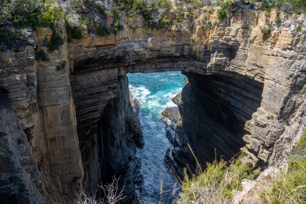
The Tasman Trail departs from here, which is a 17km one-way track that finished at the northern end of the Three Capes Track. However, you do not need to complete the whole track; the 4.5km return walk to Waterfall Bay Lookout is a mostly flat hike following the sea cliffs, with great views along most of the track.

We even saw a few brave slackliners walking out on their line over the sea when we were there — very impressive!

North of Eaglehawk Neck is the fascinating Tessellated Pavement. This unique geological formation looks as if someone has neatly laid down tiles on the shore, when in fact it was formed by movement in the Earth’s crust over millions of years, which has created the remarkable geometric shapes we see today. Be mindful of the tides when visiting; at high tides the Tessellated Pavement may not be accessible or visible.

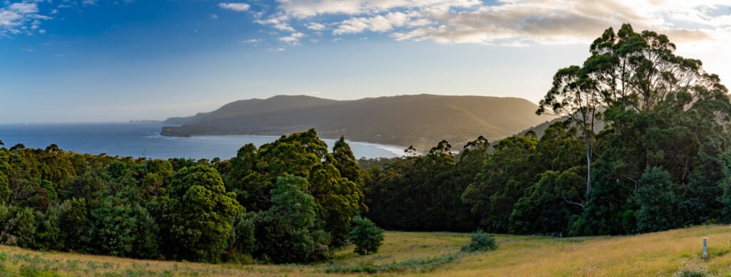
Last but certainly not least, the nearby Tasman Lookout offers beautiful views out over the coastline and is particularly lovely at sunrise or sunset. On weekend mornings, a coffee van will often set up here so you can have a cuppa to enjoy with your views.
Just when we thought we’d had our fill of beautiful Tasmanian scenery, we continued our journey up the east coast, including spending several days on the fantastic Maria Island!
