From the Eyre Peninsula, we had one more hurdle between us and Western Australia: the Nullarbor. It’s notorious for being known as one of the most boring drives in all of Australia, but if you take the time to explore some of the many tracks that meander off the highway, you’ll find there’s a lot more to the Nullarbor than most people realise.

Nullarbor translates to “no trees”, which accurately describes a good portion of the land you see. From Ceduna to Norseman, often considered the beginning and end points of the Nullarbor drive, it is a distance of more than 1200km. It even includes the world’s longest golf course, 18 holes spread out over more than 1300km!
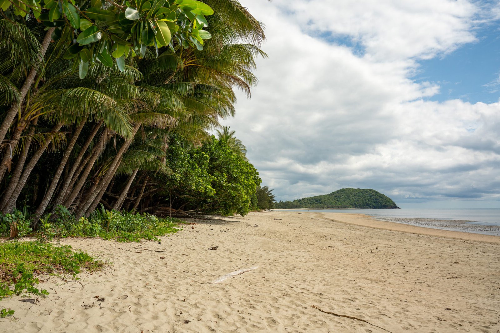
After stocking up at Ceduna, the last main town we’d see in South Australia, we made camp for the night at Cactus Beach, an iconic surf beach and great campground.

The next day, after a quick detour to Fowlers Bay to try our luck at catching salmon (which turned out to be none!), we crossed into the Nullarbor National Park and, after stopping off at the Nullarbor Roadhouse, drove 2km in before turning off for our stop for the night, the Murrawijinie Caves, a set of three collapsed caves about 10km off the highway.

On our second day, we spent most of the drive ducking off the main road to have a look at the Bunda Cliffs, the world’s longest stretch of sea cliffs.

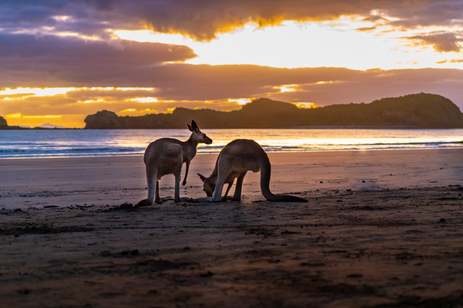
During the winter months, it is a prime spot for whale watching, as Southern Right whales migrate here for mating. We found a spot about halfway along the national park (labelled ‘Best of the Bight’ for those of you who use WikiCamps) to camp for the night, close – but not too close! – to those iconic cliffs. The wind picked up overnight and even though we were nowhere near the edge, I still had visions of the van tumbling over the edge in the middle of the night…not exactly a comforting thought at 2 in the morning. Nevertheless, it was still one of our favourite campsites of the trip!

The next morning, after spending a bit more time admiring the cliffs, we crossed the South Australia/Western Australia border in a very confused state: my Garmin, our phones, Marc’s watch, and the Ranger were all reading different times! South Australia has a time zone of UTC+9:30, most of Western Australia is UTC+8, except for the southeast corner, which is UTC+8:45. South Australia does observe daylight savings, while Western Australia does not…so no wonder all the confusion!

We checked with both the Bordertown Roadhouse and the border quarantine check to confirm the time but still weren’t fully confident until we reached the end of the Nullarbor at Norseman. But to get there, we’d need to cross the 90 Mile Straight, a stretch of road 146.6km long (which is technically just over 91 miles). It is the longest straight length of road in all of Australia.

Luckily we had plenty of music and podcasts to help keep us entertained and alert to make it to the other side. Regardless, we didn’t drive too much longer before calling it a day at a rest stop about 100km east of Norseman.
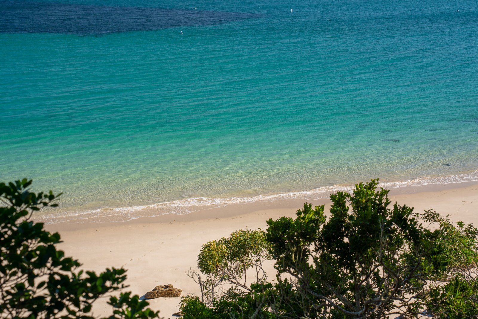
On our fourth and final day along the Nullarbor, we drove into Norseman, filling up on some much-needed, reasonably priced fuel then continued south to Esperance. Even though it was the largest distance we had covered in such a short amount of time for our trip so far, we thoroughly enjoyed the journey and earning the “I crossed the Nullarbor” sticker on our fridge. And as soon as we spotted the perfect white sand beaches dotted around the Esperance’s coastline, we were in love and decided…we were going to like WA!