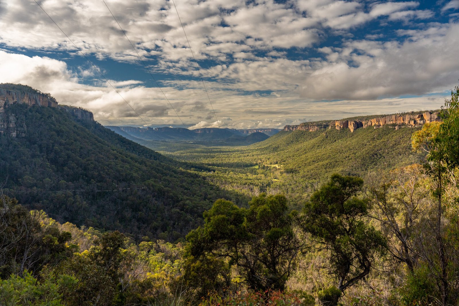
Continuing north from Canberra and the Snowy Mountains, we arrived at another popular mountainous region: The Blue Mountains. Located just a 1.5-hour drive west of Sydney, the Blue Mountains are one of New South Wales’ most popular natural tourist destinations. According to NSW Parks, more than four million people come to this UNESCO World Heritage Site every year. Most visitors tend to base themselves in the main town of Katoomba and see all the usual sights, such as The Three Sisters, Wentworth and Katoomba Falls, and the Scenic Railway, the world’s steepest passenger railway. While all these attractions are spectacular and well worth a visit (as we have on multiple previous visits), there are countless options for those interested in exploring further afield. The western Blue Mountains and adjacent Kanangra-Boyd and Wollemi National Parks abound with natural beauty, history and adventure, with the added bonus of less crowds.
Early Setbacks
When we visited in mid-2022, New South Wales had had it pretty tough for the previous three years: bushfires in 2020, strict Covid lockdowns in 2021, and floods in 2022. Unfortunately, as a result of the natural disasters, many attractions in the area were closed due to access and safety concerns, which at first was quite a disappointment to us.
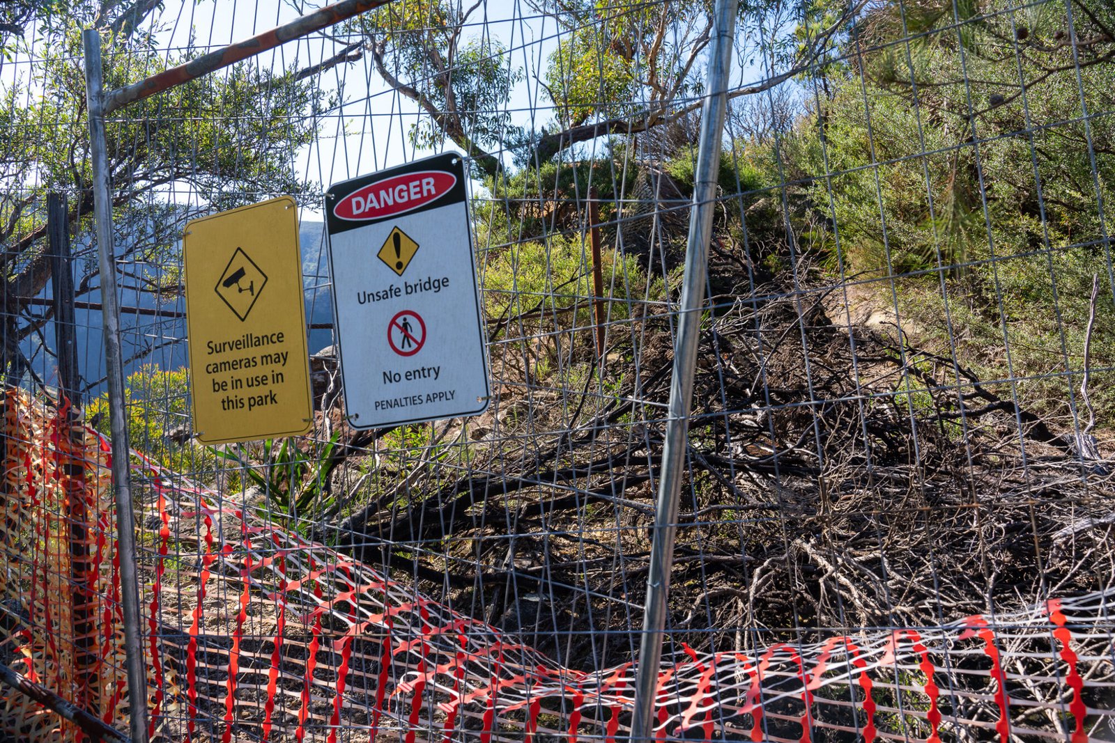
However, after speaking to the extremely helpful staff at the Seven Valleys Visitor Information Centre in Lithgow, we left armed with an abundance of information and more than enough options to keep us busy for our visit.
Centennial Glen/Porters Pass Circuit
The Greater Blue Mountains is known for its spectacular canyons, the most popular and one of the more easily accessible being the Grand Canyon, which is located halfway between Blackheath and Katoomba. Sadly this spot was on the list of shut attractions at the time of our visit. As an alternative, the visitors’ centre staff suggested the Centennial Glen/Porters Pass Circuit. This 5.4km loop, situated at the north-west end of Blackheath, traverses paths historically used by early residents of the town, including an old hunting route frequented by a man named Timothy Porter.

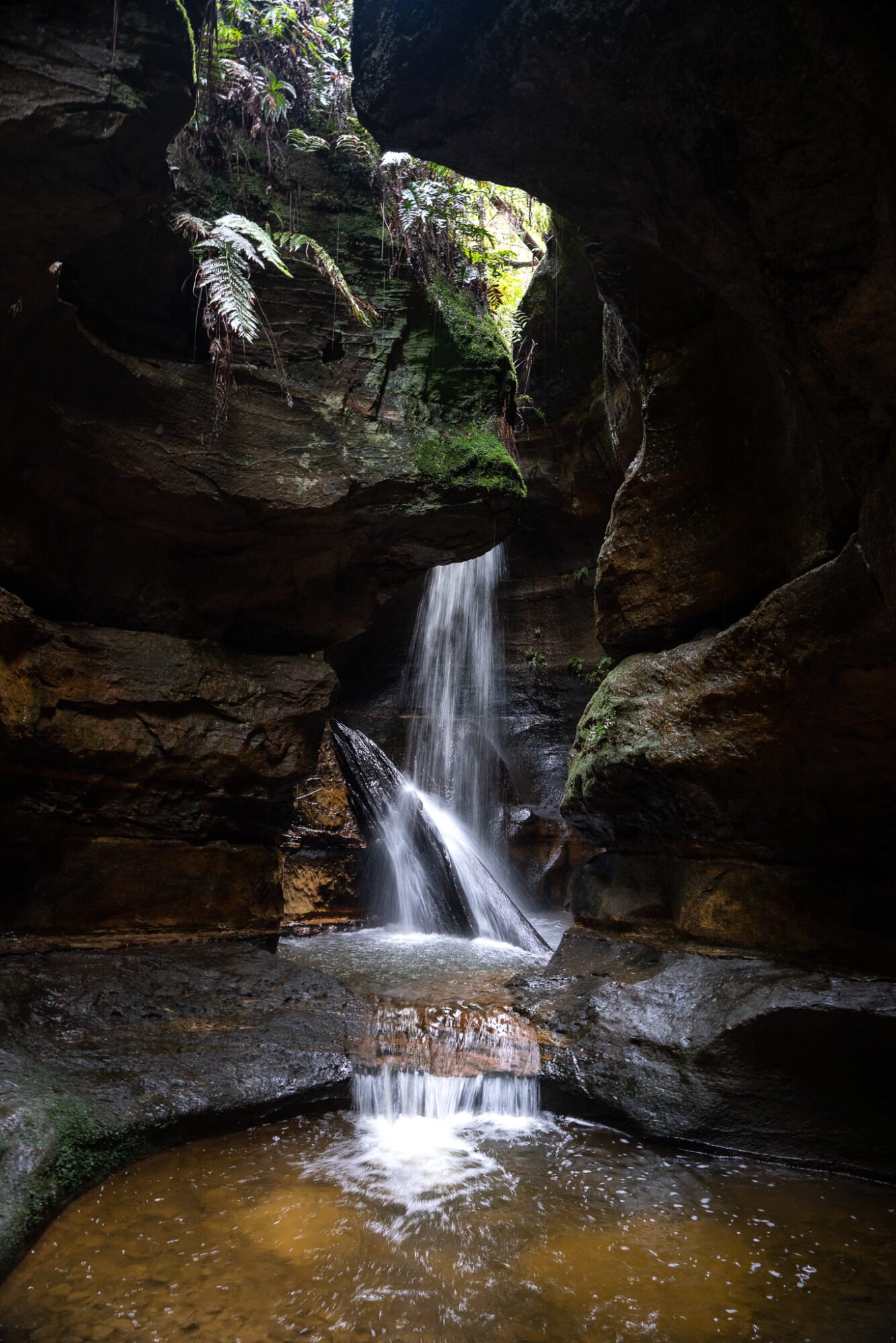
Highlights include looking out over rocky pagodas with great views into the valley, descending into cool and wet rainforest gullies, walking along the colossal cliffs of Colliers Causeway, and inching through a fantastic slot canyon with a waterfall feeding into a small pool at the end — a perfect way to cool down on a hot day. The terrain is varied, with some steep climbs and descents; therefore, you should have a good level of fitness to tackle this walk.
Nearby Lookouts
If you prefer your natural beauty on the more easily accessible side, Govetts Leap is a must. A short drive out of Blackheath, visit early or late in the day to avoid the crowds.
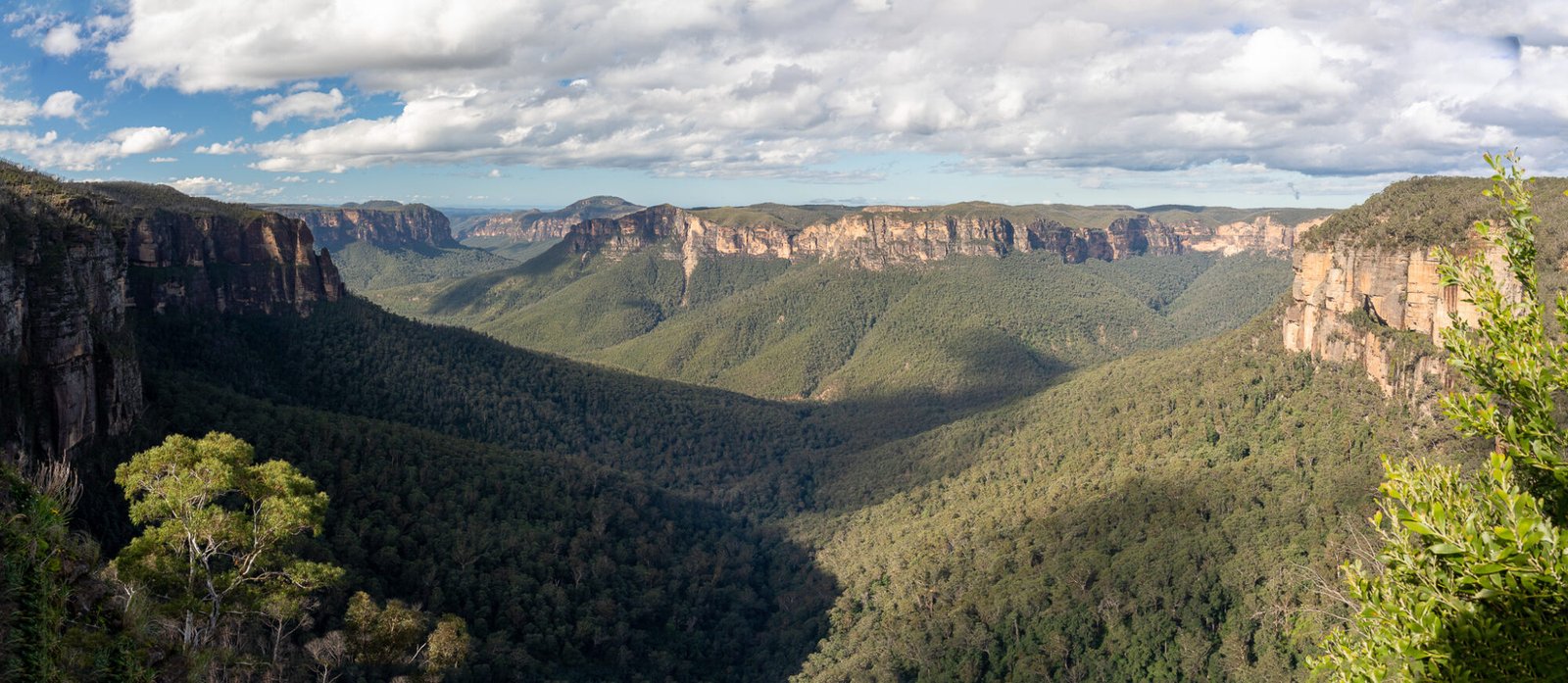
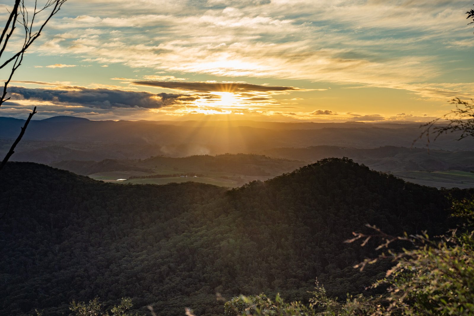
There are several walking tracks leaving from the lookout to further explore and enjoy this area, such as the 6km return Cliff Top Walk to Evans Lookout. Another easily reached lookout is Hargraves Lookout west of Blackheath; it makes a perfect spot to enjoy the sunset over the seemingly endless wilderness of the Greater Blue Mountains. Nearby Mount Blackheath Lookout is only a 10 minute drive from Hargraves, which also serves as a launching pad for paragliders.
Wolgan Road and the Glow Worm Tunnel
One attraction from our original plans that was still available to us despite the many closures was the Wollemi Glow Worm Tunnel. However, it was not via an easy 2km return walk at the end of a 4WD track along the scenic Newnes Plateau like we were originally intending, as the Newnes Plateau was in the midst of a massive infrastructure upgrade. Instead, we took a scenic drive winding through the Wolgan Valley, with the mountains shrouded in mist from the recent rains.

A patch of dirt to the left of the road for a car park and a gravel track leading to the right down to the river with a small wooden sign are the only demarcations of the start of the trail. Depending on recent rainfall, the trail will likely begin with a wade through shallow, or possibly deep, running water along a causeway with a firm base. If in doubt, do not cross; the river can become impassable after heavy falls.
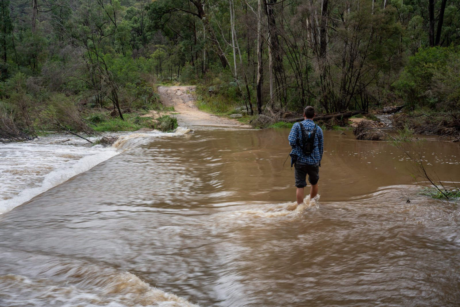
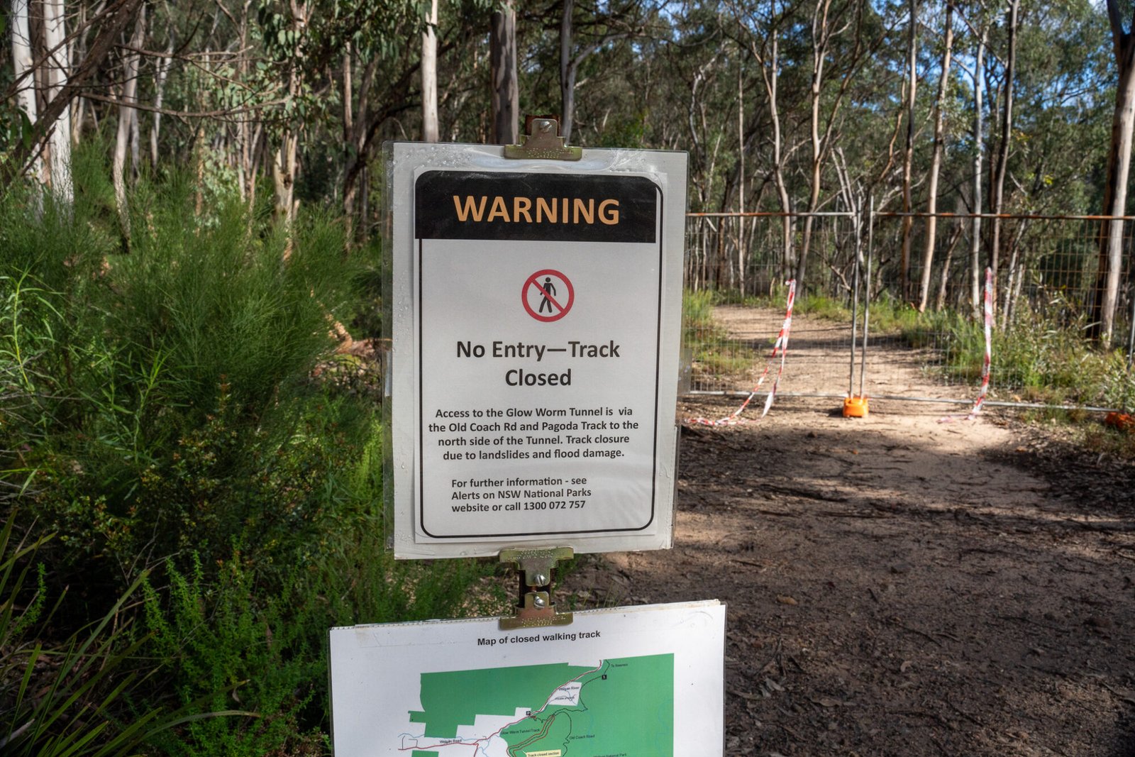
From here it’s a steep climb to the top of the ridge. Once again, normally there’s a shorter track but because of recent landslides we had to take the long way via Old Coach Road to reach the glow worm tunnel.
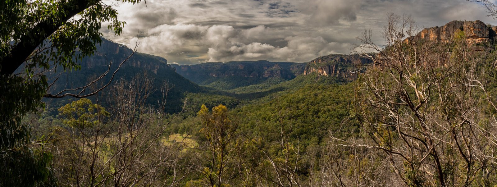
This walk, while challenging due to the consistent uphill trek, awakens and excites the senses, from the views out into the valley to the fresh smell of the Aussie bushland to a lyrebird’s call echoing through the trees.
And then suddenly, you walk around a corner and see a dark, gaping hole in the hill: the glow worm tunnel. This tunnel used to be part of a railway line to transport oil shale through the Newnes Valley; you can see lasting evidence of this past industry dotted along the track.

Armed with torches — a must for this leg of the track — we entered into the tunnel until we could see no daylight; then we turned the lights off. At first, nothing but complete darkness greeted our eyes, but then, slowly but surely, faint lights started to appear all around us until it felt like looking up at the night sky.

Once you’ve had enough of this beautiful sight and make your way back to the carpark, you can choose to return the way you came or continue on to the historical township of Newnes to explore the ruins of the once prosperous oil shale industry; there is caravan-accessible camping available here. While in the area, don’t miss the short walk to Maiyingu Marragu (previously known as Blackfellows Hand Cave) for some impressive rock art from the Wiradjuri people.

Lesser known Kanangra-Boyd
For a daytrip within the vicinity of the Western Blue Mountains, Kanangra-Boyd National Park is a must; it may not be on many peoples’ radars but it is just as spectacular as the more popular attractions of the region. You’ll have to leave the van behind for this one as the roads in are narrow and winding and therefore not suitable for caravans. On the way, keep an eye out for the Hampton Halfway Hotel with its pub grub and spectacular views and the Jenolan Caves, one of the most well-known limestone cave systems in Australia.
After taking the 27km unpaved road through the national park, there are several walking tracks to choose from. The first and easiest is a 10 minute, wheelchair-accessible track to the Kanangra-Boyd Lookout.

For those who want to explore further, the Plateau Walk is the best way to view the ridge and valley from many different angles. Towards the start of the walk, keep an eye out for a track heading off to the right. This quick detour leads to Dance Floor Cave, where an actual dance floor existed in the late 1800s for social gatherings for people travelling along the old stock routes. Continuing along the main path, you climb up to the top of the plateau where you can essentially walk as far as you like along the plateau edge, where the views are absolutely breathtaking.
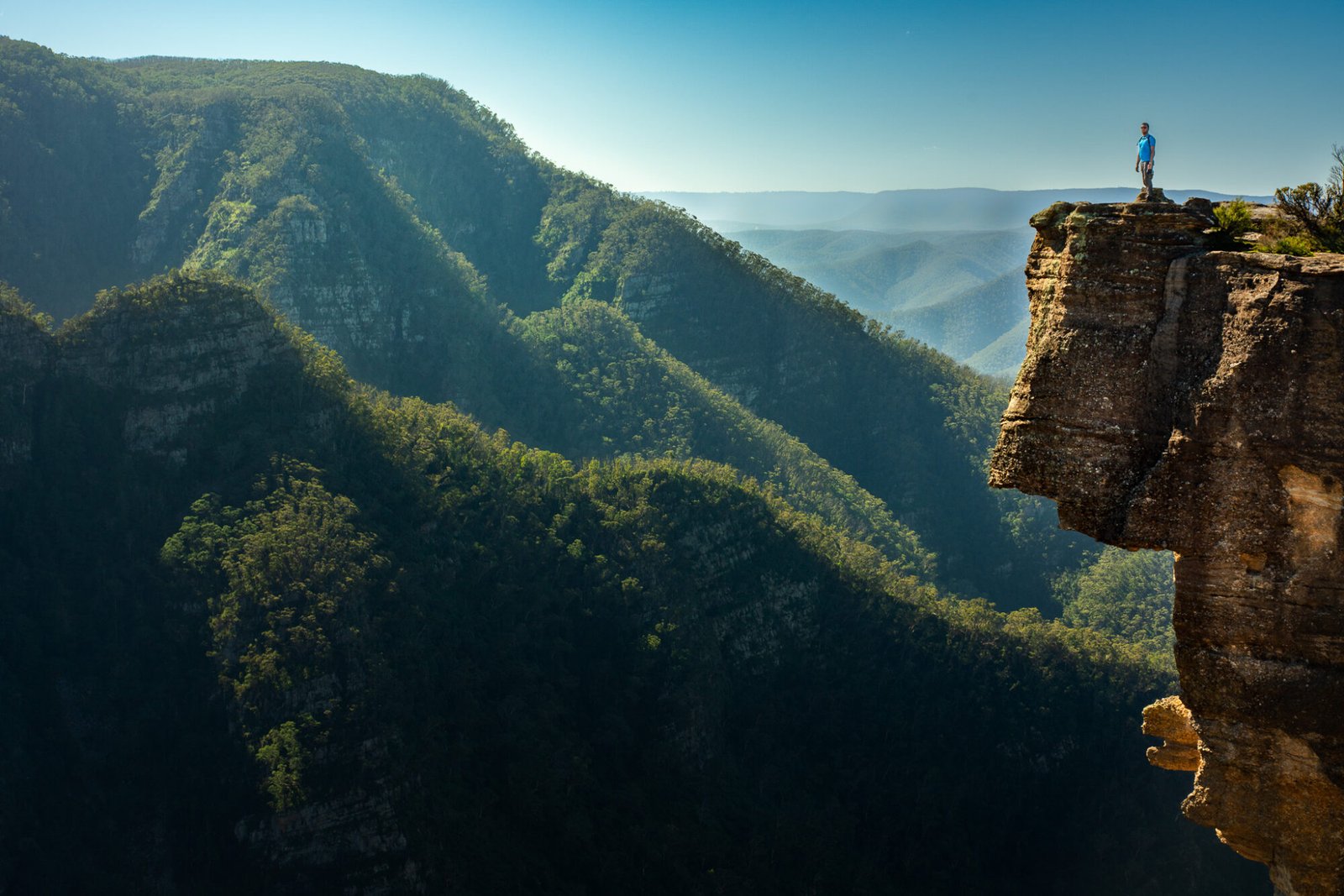
The last trail option here is the walk to Kalang Falls, which is not for the faint of heart as it’s a serious cardiovascular workout tackling all of those steps! It’s well worth the trek, though, to admire this beautiful waterfall, which offers a cool swimming hole as a reward for your efforts.


Historic and Heritage Towns
If after all of this activity you’re looking for something a bit more easygoing, a relaxed stroll along the well-preserved sandstone buildings of the Hartley Historic Site is a great option. Located a short drive south of Lithgow, the historic township, which was one of the first rural settlements west of Sydney during the colonial push inland in the 1800s, includes a church, courthouse, post office (which now houses a cafe), an inn, and more. You can opt for a self-guided tour, with plenty of informational signs dotted around the site or in the information centre; otherwise, pre-booked guided tours are available.
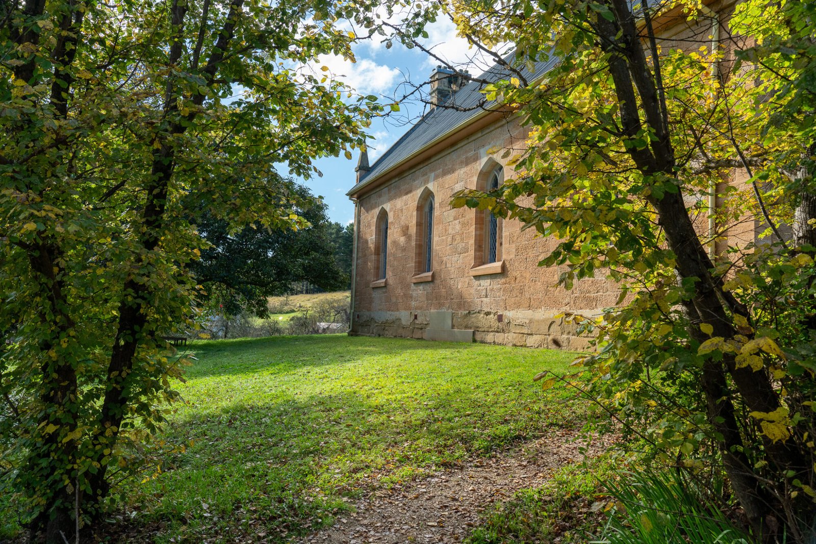
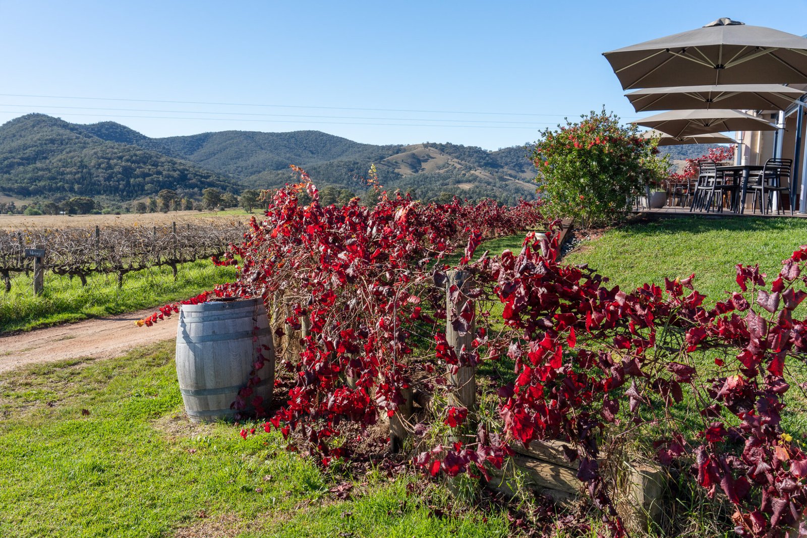
Once you’ve had your fill of stunning scenery and interesting colonial history, a stop at the delightful town of Mudgee is in order. Wander through the town admiring the heritage buildings, particularly lovely in autumn thanks to the vibrant colours coming through the trees that line the town streets. Being a fertile farming area and the third largest grape-producing region in New South Wales, there is no shortage of wineries to patronise or culinary delights to enjoy in this up-and-coming foodie destination.
Getting Back to the Coast
From Mudgee there are essentially three options to get to the coast: backtracking through the Blue Mountains towards Sydney, continuing north to take the Golden Highway east, or taking the scenic drive along the Bylong Valley Way, which is the route we opted to take.

The Bylong Valley Way includes a couple sections of winding roads which can be a challenge for those towing; however, the interesting historic towns and landscapes you drive through more than make up for it. While this stretch of road can be done in a day, it’s best broken up into a couple days to enjoy towns such as Kandos, which once had the largest cement plant in the Southern Hemisphere, and Rylstone, with its quirky shops and an acclaimed authentic yum cha and Chinese tea house, followed by a beautiful drive which winds through impressive sandstone cliffs in Coxs Gap before descending into the verdant and picturesque Bylong Valley.

There’s a good reason why this is considered a top Aussie drive, and it makes a spectacular finish to a journey beyond the Blue Mountains.
