Before we left Darwin to continue our Australia travels, we had one more Top End destination to tick off the list: East Arnhem Land.
Located approximately 1,000 kilometres from Darwin on the Gove Peninsula, East Arnhem Land is one of the most remote places in Australia and also one of the most uniquely beautiful. It offers pristine white sand beaches, red lava rock coastlines, and inland swimming holes. The deep and ongoing connection to culture, predominantly of the Yolngu people who have called East Arnhem Land home for over 40,000 years, is prevalent throughout.
PLANNING YOUR TRIP
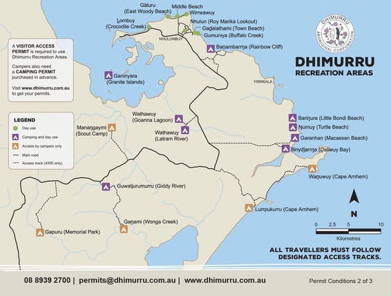
Road access and camping at national park campgrounds require permits and should be organised as far in advance as possible, especially the more popular spots such as Wanuwuy/Cape Arnhem. The road permit for Central Arnhem Road can be organised through the Northern Land Council, and camping permits can be booked through the Dhimurru Aboriginal Corporation. See here for more information and links to apply. Some areas, such as Bawaka Homeland, are only accessible on Indigenous-guided tours.
Now, for the infamous Central Arnhem Road…truth be told, we didn’t really have any issues with the road when we visited in September, but if the numerous wrecked cars along the road are anything to go by (we stopped counting at 50), it’s not a road to be trifled with.
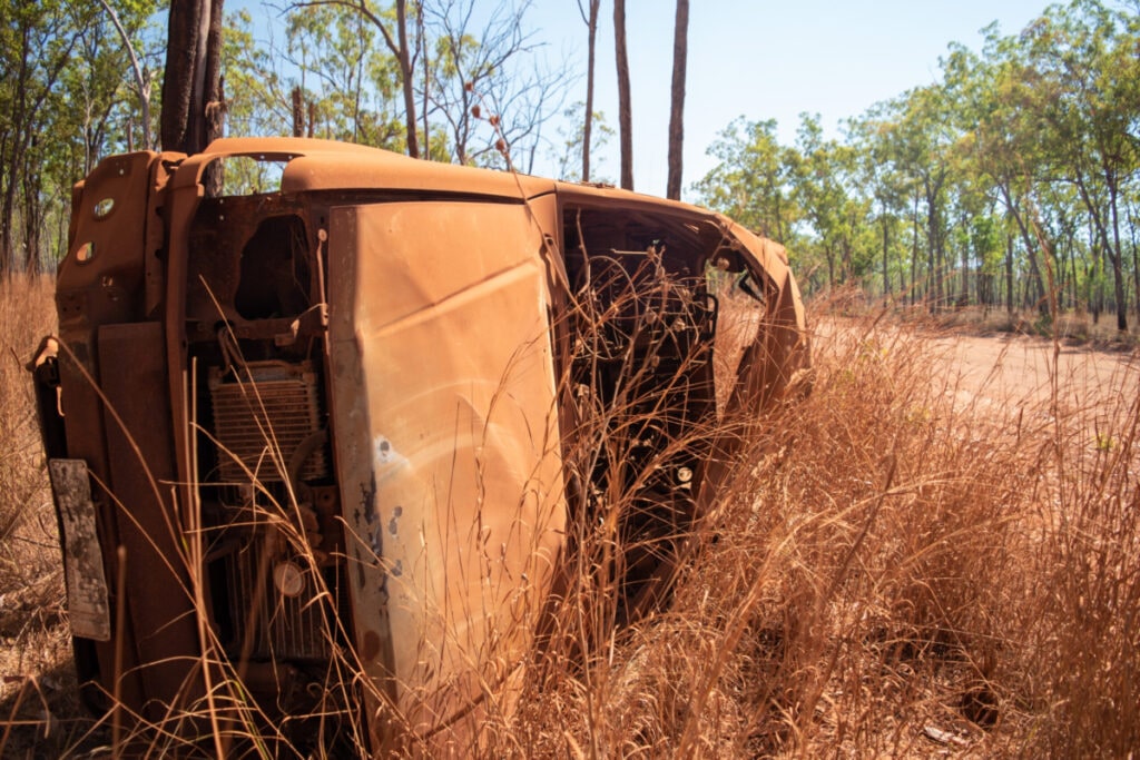
What it comes down to in the end is luck of timing — if you visit just after the graders have come through then it’s smooth sailing; if not, then you’re probably going to have a bumpy ride. It’s another example of where tyre pressure is so important; by dropping ours down, we felt the bumps less and had more traction. On the flip side (no pun intended), we had to limit our speed. On that note, we highly recommend breaking up the drive from Darwin into two days; there are a few options out there but Mainoru Store makes a welcomed and affordable stop along the journey.
Similar to our trip through Kakadu National Park, we opted to leave the caravan behind for this trip to avoid possible damage and to travel more easily from spot to spot. There are some epic beach spots that are definitely not caravan-friendly and require a 4×4 to navigate the soft sand beaches. For those towing caravans, the Gove Boat Club is a very popular option as it is one of the only caravan-friendly camps on the peninsula; again, book well in advance during the tourist season.
MANAGAYMI/SCOUT CAMP
Our first camp in Arnhem Land was Managaymi/Scout Camp, one of the the lesser known camps in the region. Most people flock to the coastal campgrounds, and while they are spectacular, the inland campgrounds have much to offer. Scout Camp has lovely creek-side camping, with the only amenities being a drop toilet.
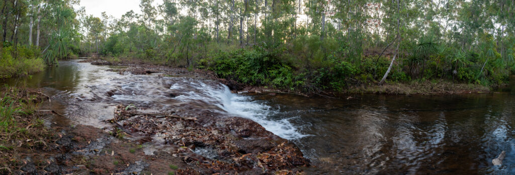
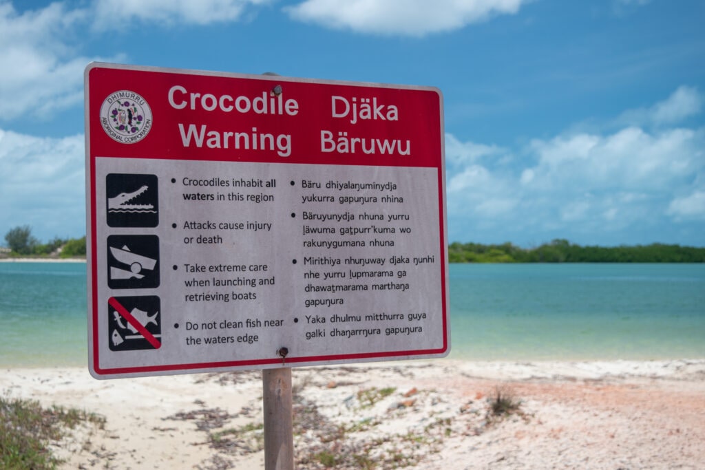
As we drove in, we saw the crocodile warnings signs, but once we arrived at camp we noticed a couple people in the water. Having been in the Top End for a while, we had admittedly gotten a bit blasé when it came to waterholes, and we saw it as a sign of safety that others were in the water. Nevertheless, we still stayed cautious and kept mostly to the shallow rapids section. The following morning one of us went for a run and a quick cooldown dunk in the water. Shortly after, a fellow camper informed us that a 3-metre crocodile had been spotted just 30 minutes prior walking up those same rapids we swam in that previous afternoon! It was a sobering reminder of the need to constantly be croc-wise in this region.
WATHAWUY/GOANNA LAGOON
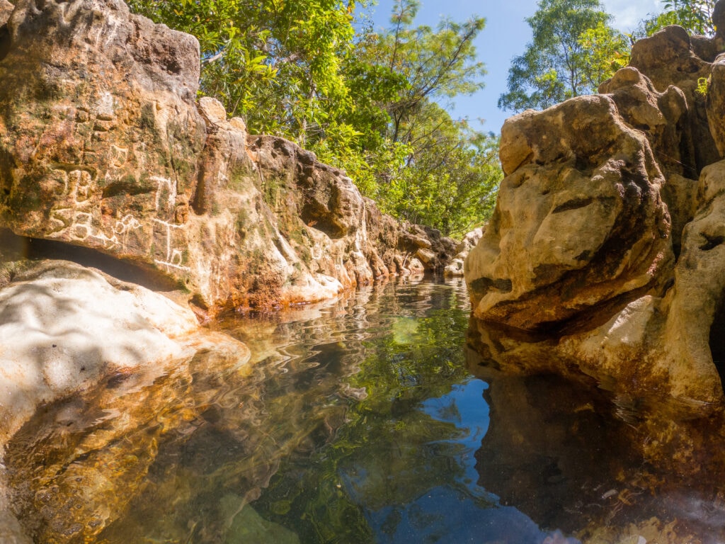
Another lesser known (and actually croc-safe) inland waterhole is Wathawuy/Goanna Lagoon. The waterway here has carved into the soft rock to create a lovely mini-canyon complete with refreshing mini-waterfall. There are several spots to enjoy this waterway, and there is camping available here and at nearby Latham River.
NHULUNBUY
Nhulunbuy, the main town of East Arnhem Land, was founded in the 1960s as a bauxite mining town. There is a fantastic lookout with a great overview of the town at Roy Marika Lookout.

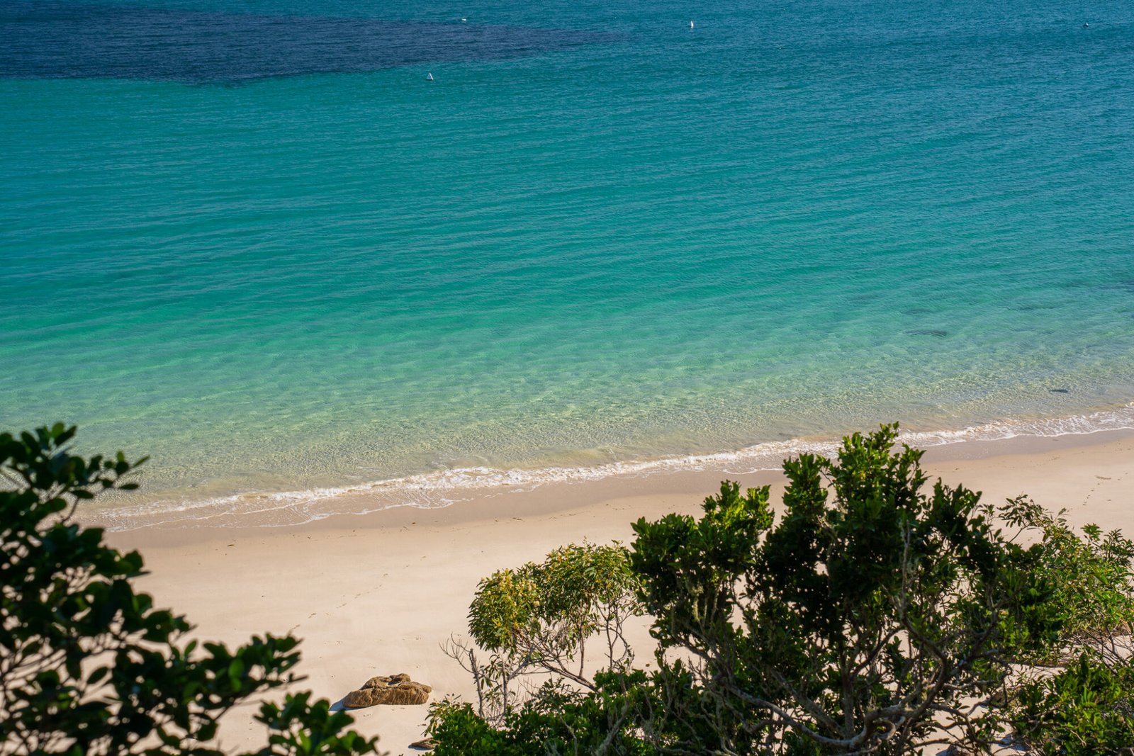
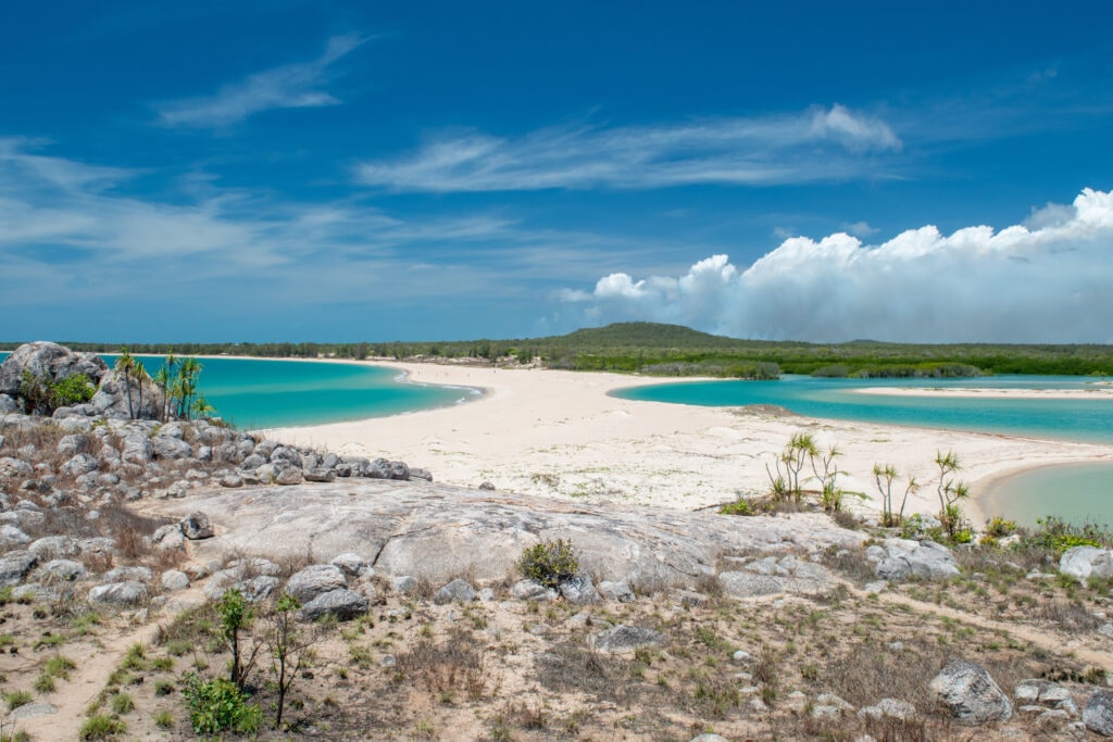
However, the real showstopper for us was East Woody Beach (Galuru) and Island (Dhamitjinya). The blue of the water and the white of the sand are some of the most brilliant we’ve seen on our travels so far. Probably the main contender would be the Esperance coastline, but here the water is much warmer! However, it’s still very important to be croc wise when visiting this beach. The other thing to be mindful of when entering the water, particularly between October and May, is the presence of jellyfish (AKA stingers). The most concerning is the box jellyfish, which has one of the deadliest toxins known to man; it can cause death from cardiac arrest within minutes. Between crocodiles and box jellyfish, that’s a pretty good incentive to stay out of the ocean, particularly in summer months!
BANAMBARRNGA/RAINBOW CLIFFS
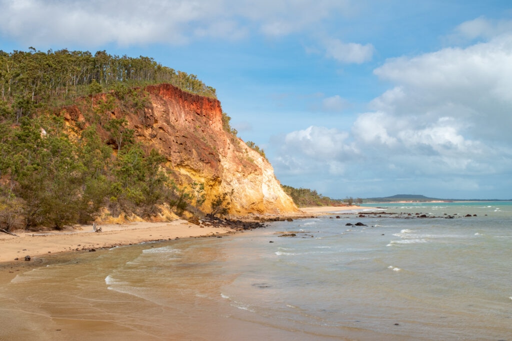
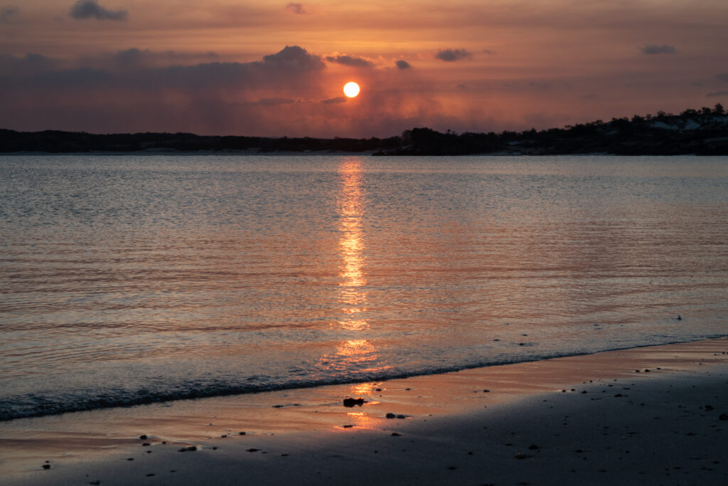
After our day exploring Nhulunbuy, we set up camp at Banambarrnga/Rainbow Cliffs, which is a mere 10-15 minutes from town. This small campground is located amongst the colourful ochre cliffs overlooking the ocean to the north and nearby Bremer Island. The top of the cliff is not accessible as it is a sacred site, but the beach is lovely to walk along, and the sunsets are incredibly vibrant.
GANINYARA/GRANITE ISLANDS
The following day we hired a boat to explore Ganinyara/Granite Islands and try our hand at fishing. This area boasts some spectacular fishing, but we had our standard luck when it came to catching fish — a few close calls but we got nothing into the boat. However, the day was not all to waste as there are several picture-perfect islands to really feel like you’ve gotten away from it all.
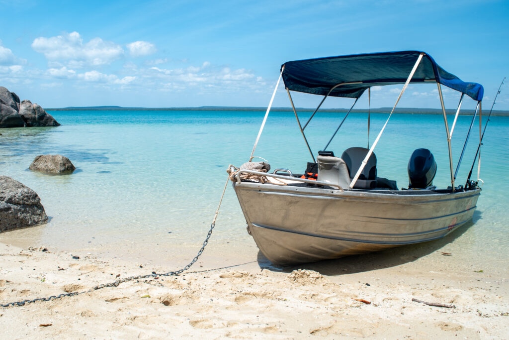
One of them you can even camp overnight on (bookable through the same site as the mainland camps); this is definitely on our list for next time! Even if you don’t have camping booked, you can still moor your boat and relax for the day.
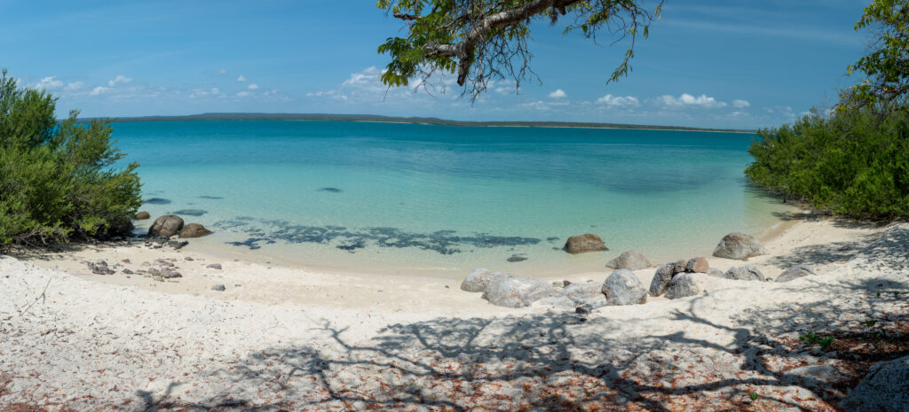
NGUMUY/TURTLE BEACH
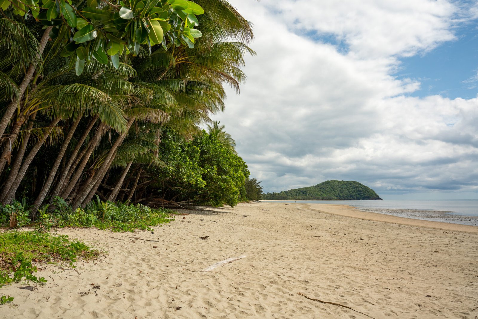
Our next camping spot was Ngumuy/Turtle Beach. On our way from Nhulunbuy we took the worthwhile detour to visit the Buku-Larrngay Mulka Art Centre in Yirrkala, which has a very impressive collection of Indigenous artwork of various mediums. Ngumuy/Turtle Beach campground is even smaller than Banambarrnga; there are only two campsites available. The beach is a stunning white sand beach flanked by red rock; as it is east-facing, the sunrises are worth the early rise.
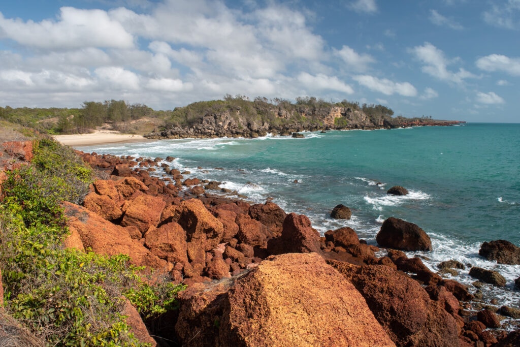
It also makes a great base to visit two other nearby areas of interest: Baringura/Little Bondi and Garanhan/Maccassan. Baringura, also known as Little Bondi due to its surf break (in croc-inhabited waters?? No, thank you!), offers a long stretch of beach and a few beachside campsites. It is 4WD-only access; the sand here gets pretty soft in places.
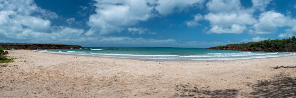
Garanhan/Maccassan, which is south of Ngumuy, has more of the red lava rock coastline and apparently is a great spot to catch squid (although we didn’t have any luck, of course).
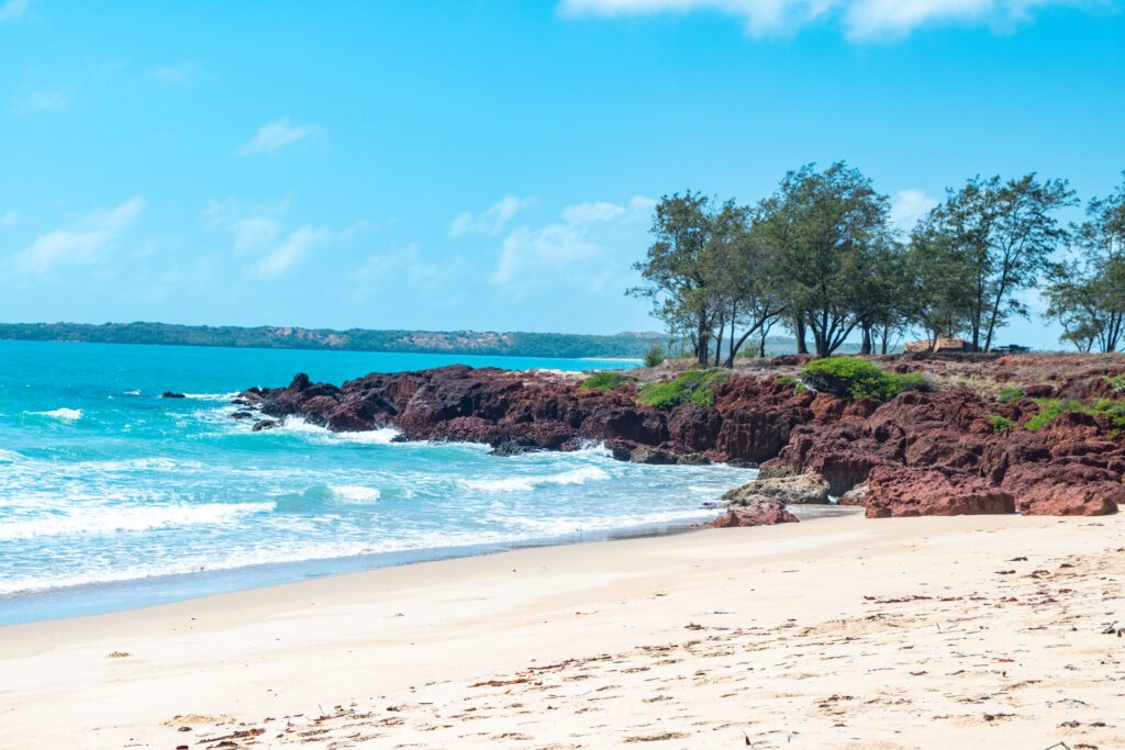
Dhimurru Coastal Walking Track connects the 3 campgrounds; you can choose to do a section of it (like we did) or complete the whole 7.2-kilometre (one-way) track.
WANUWUY/CAPE ARNHEM
Last but certainly not least on our itinerary was Wanuwuy/Cape Arnhem. Half of the adventure is getting here; the sand is extremely soft and therefore definitely 4WD-only. We came across several bogged cars on our journey out.

Despite the effort, it is a stunning coastline and highly enjoyable to drive along; just make sure you give yourself enough time at the campground to make it worth the effort. Local secret: campsite #2 is known as “The Penthouse”; you’ll see why when you get there. While we unfortunately didn’t snag this highly sought-after site, ours was still more than adequate.

We spent our days relaxing, going for beach walks, trying some fresh oysters off the rocks (and realising we still don’t like them) and failing at fishing. It was a great end to a fantastic trip through Arnhem Land and essentially our time in the Top End.
Our next destination meant covering some big distances, literally from top to bottom: we were on our way to Tasmania!
